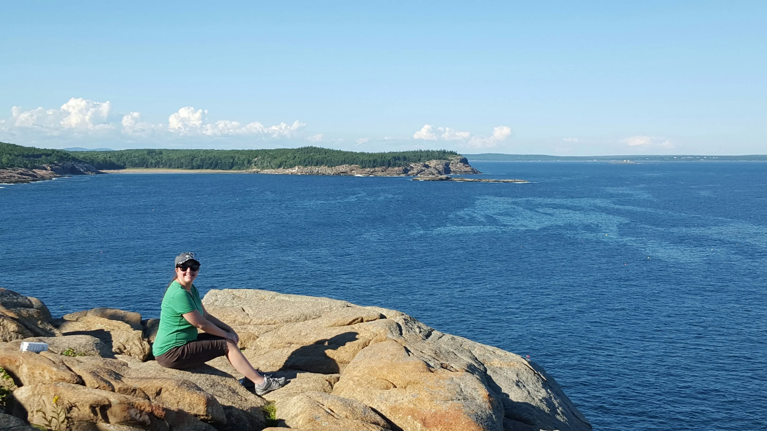
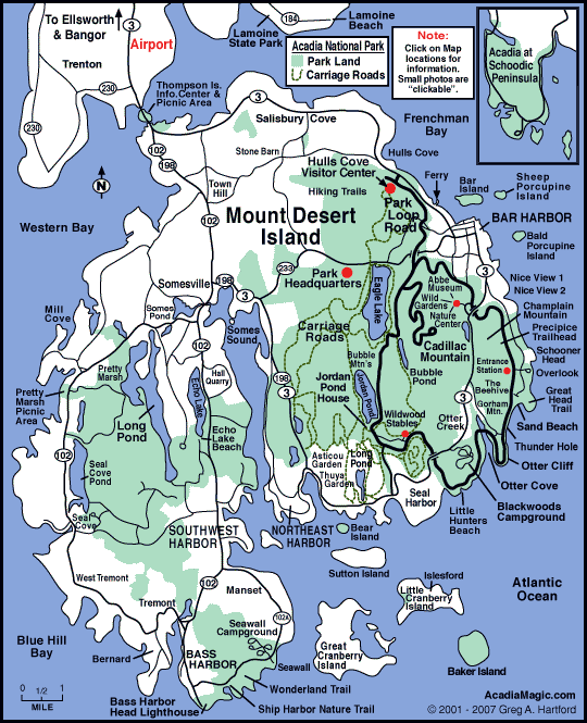
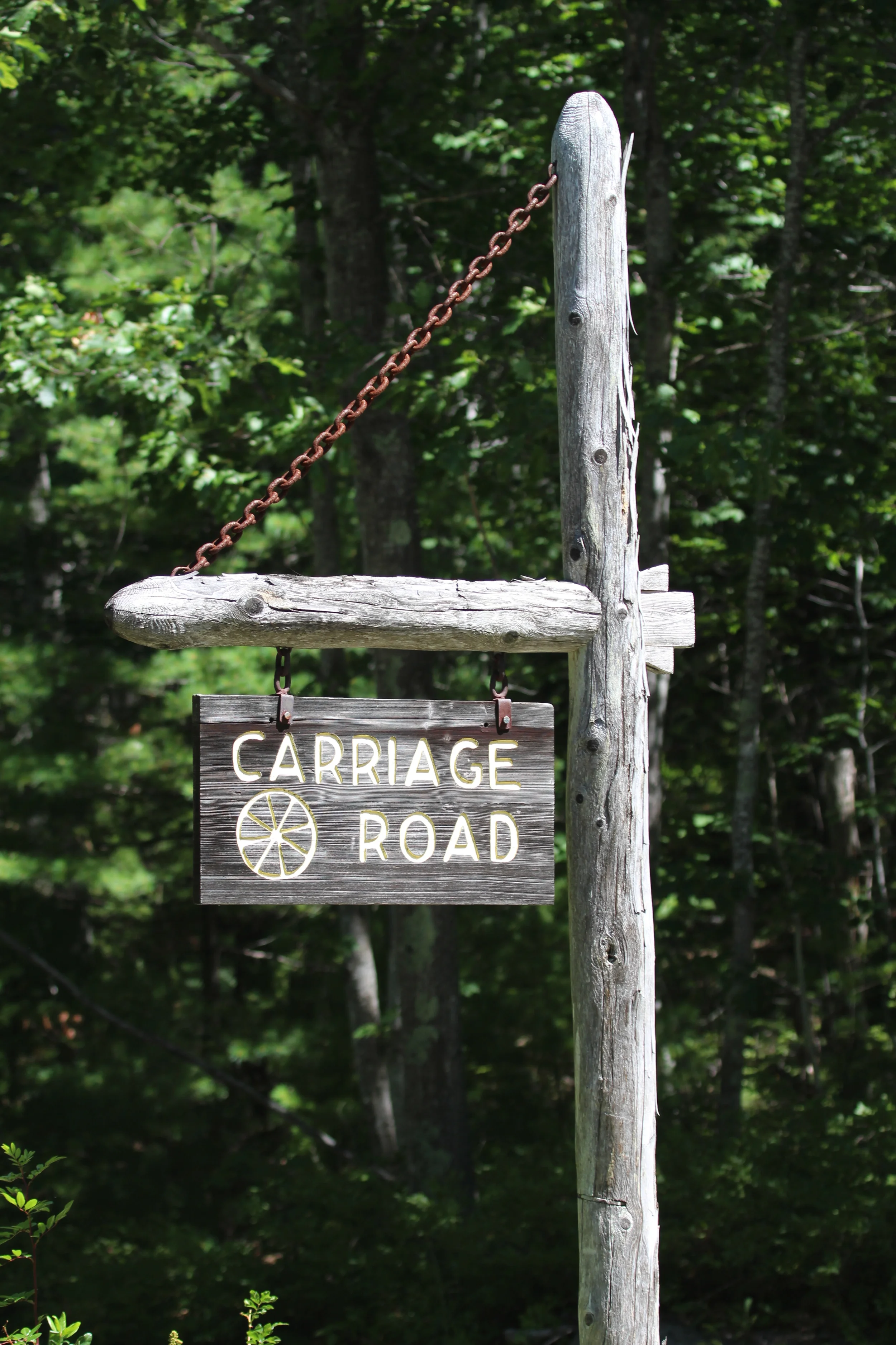
We continued our exploration of Acadia National Park on Day 30 of our Grand Adventure. We decided to check out a small portion of the island's Carriage Roads, which were planned and financed by John D. Rockefeller, Jr. between 1913 and 1940.
There are 57 miles of carriage roads in the park for the use of hikers, bikers, horse riders or even horse-drawn carriages. Motor vehicles are not allowed. This feature is just one aspect that shows the foresight and generosity that went into planning Acadia, making it one of the great national parks of the country.
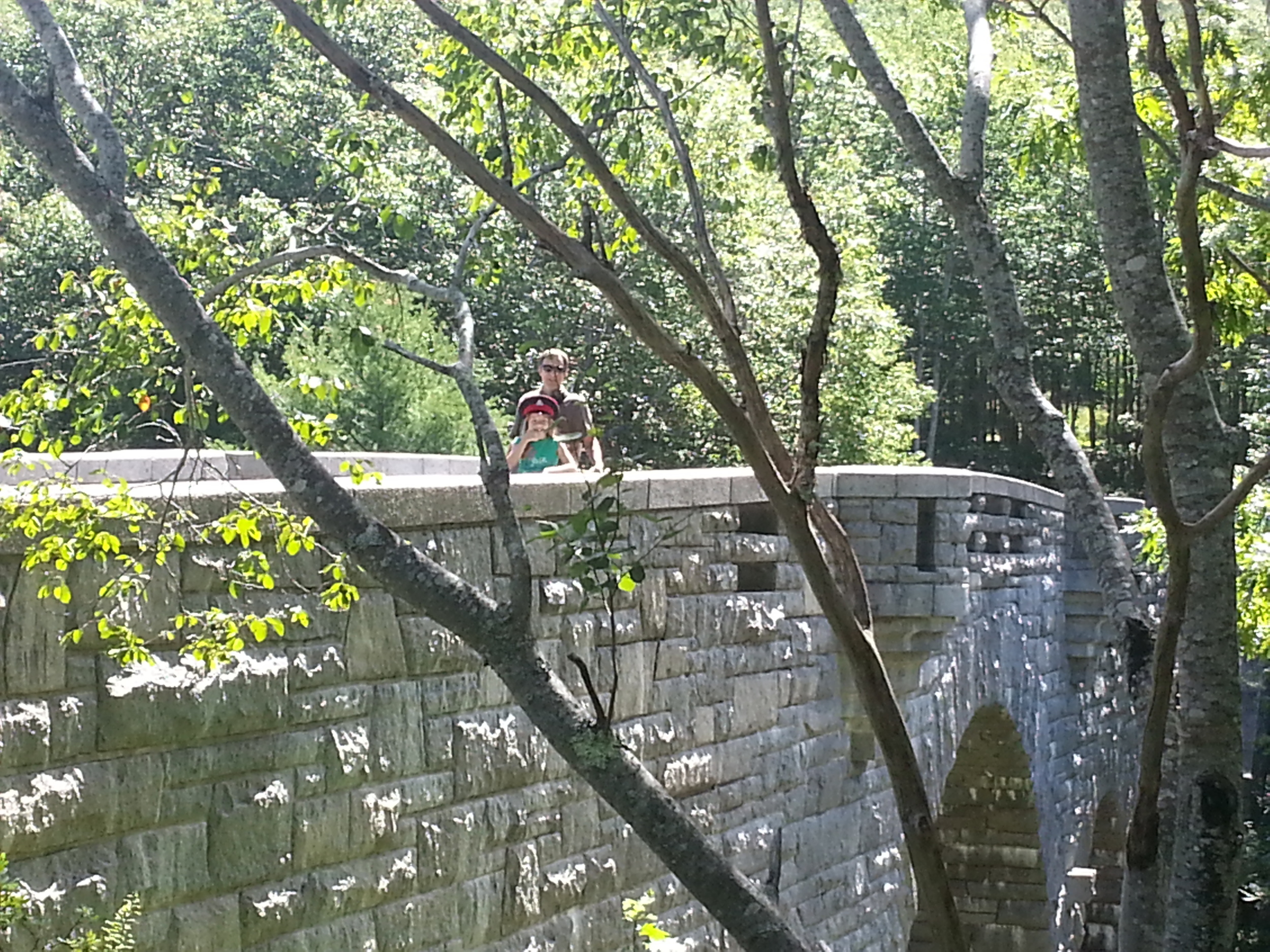
There are also many beautiful bridges among the roads. We spent some time at this one.
Even with so, so many visitors to Bar Harbor and the park in August, there was peace during our walk along one of the carriage roads to Eagle Lake.
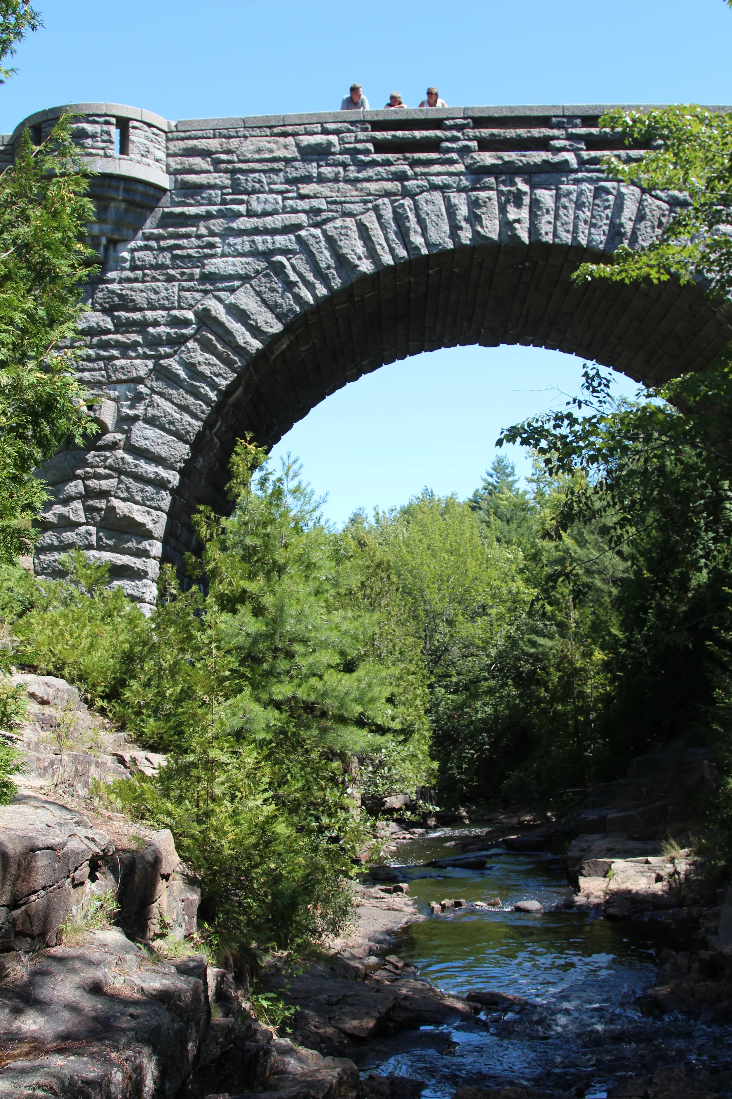
Underneath the bridge we explored was a rocky stream.
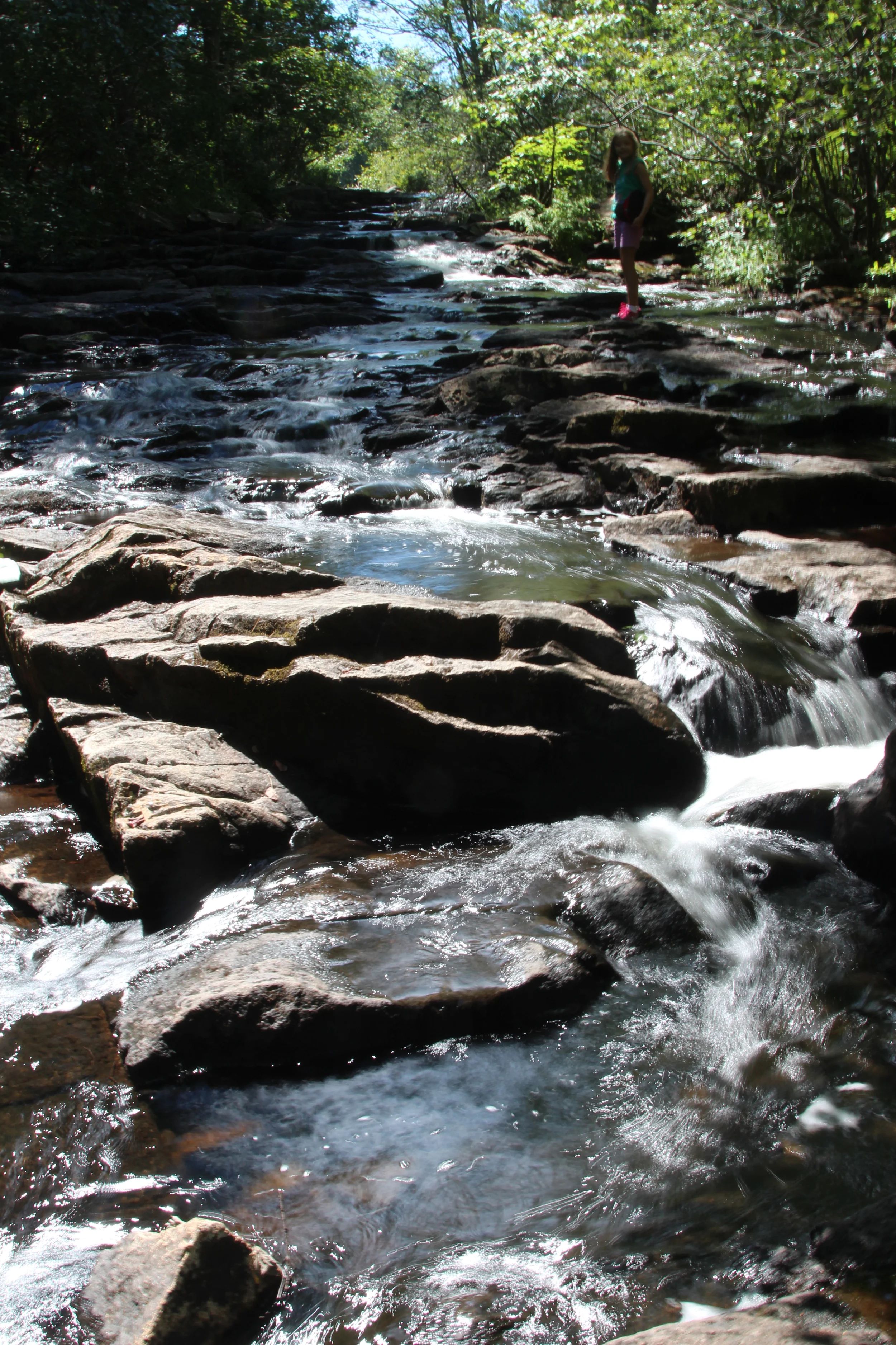
Petunia found it a very enticing place to explore.
After Petunia made her way to all the rocks she could easily reach, she paused to determine each time if she could make the jump to the next one, which was a little further than comfortable, while also wet and slippery. I remember willing myself to be quiet and watch, neither encouraging her to go for it nor discouraging her from the risk. I had the feeling even then that this was a parenting lesson with training wheels...a foreshadowing of many such, ever more consequential, moments to come.
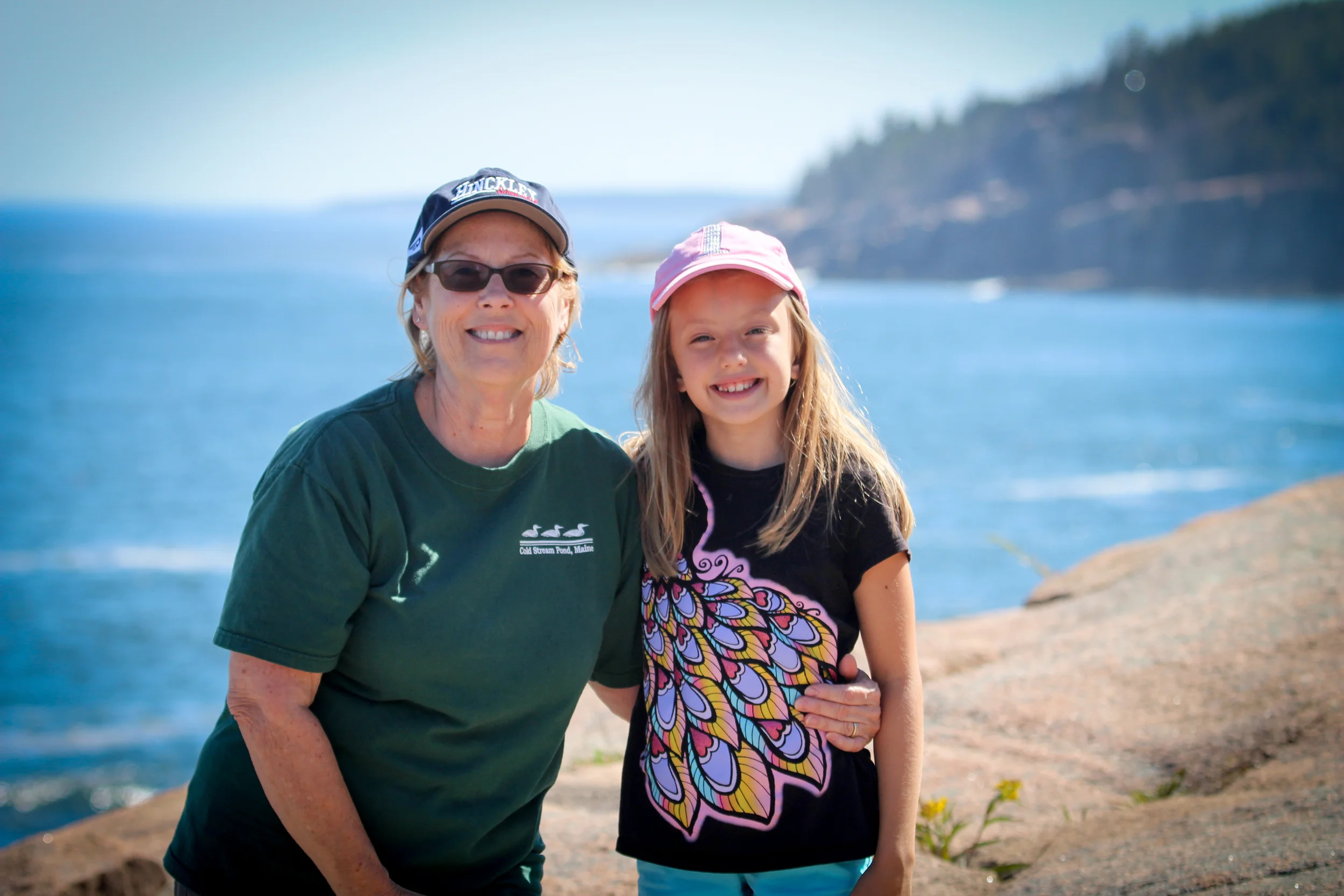
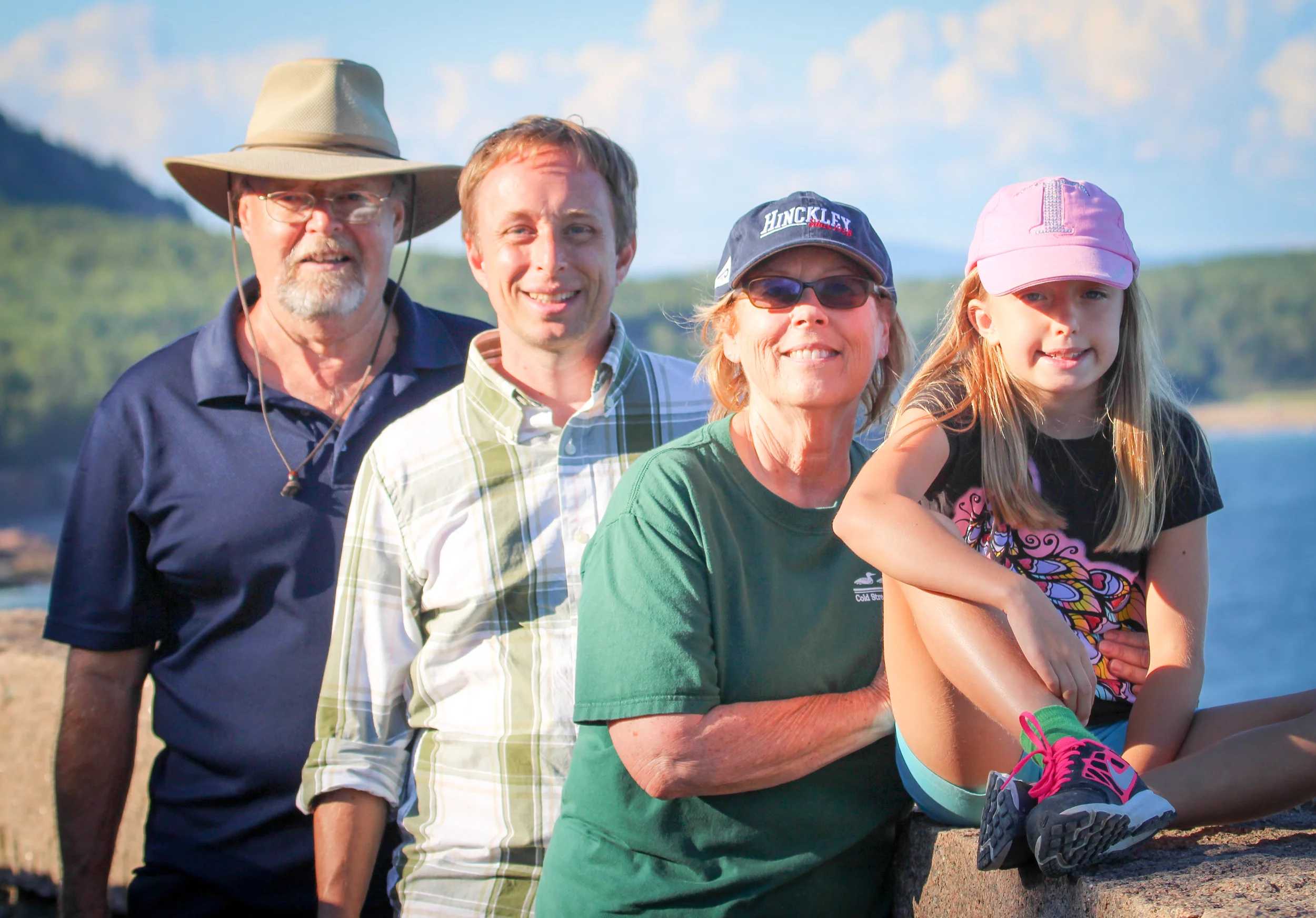
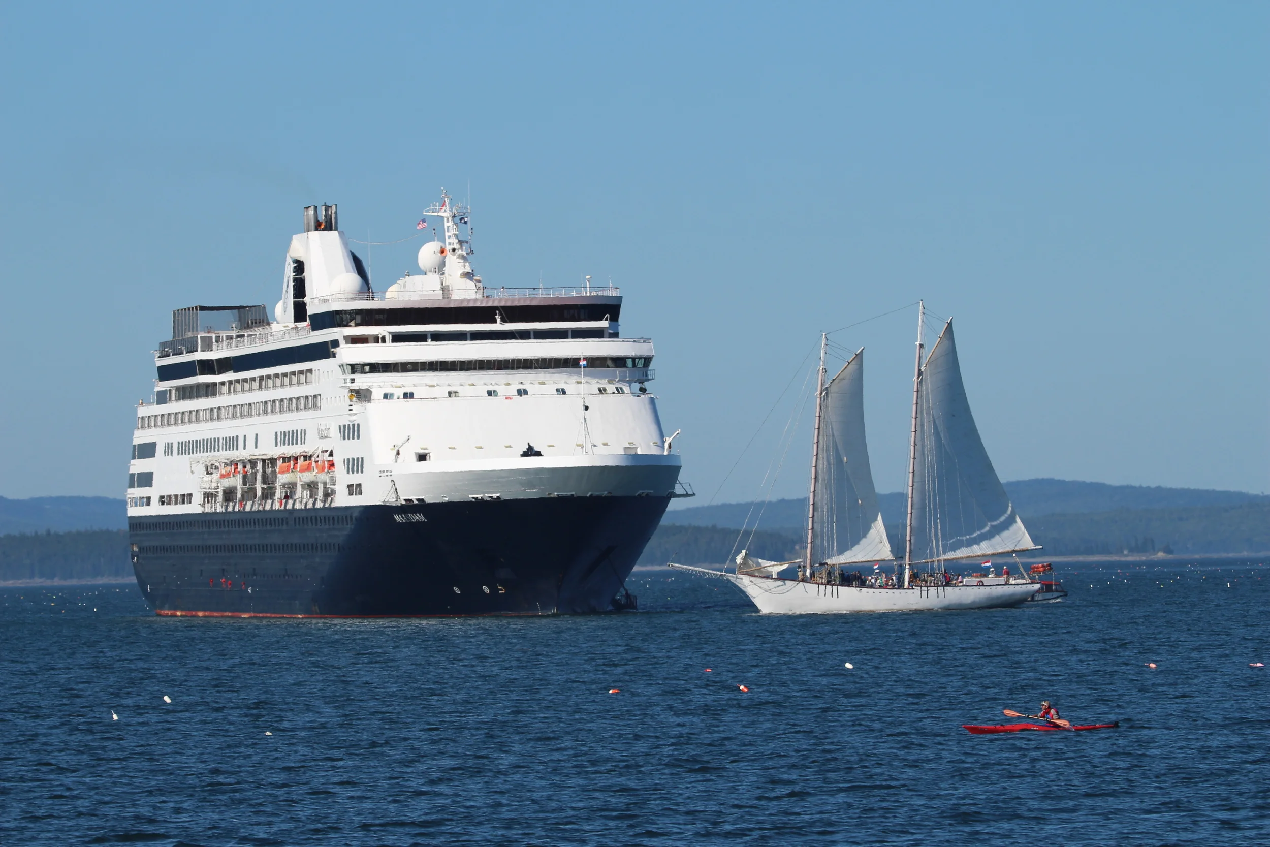
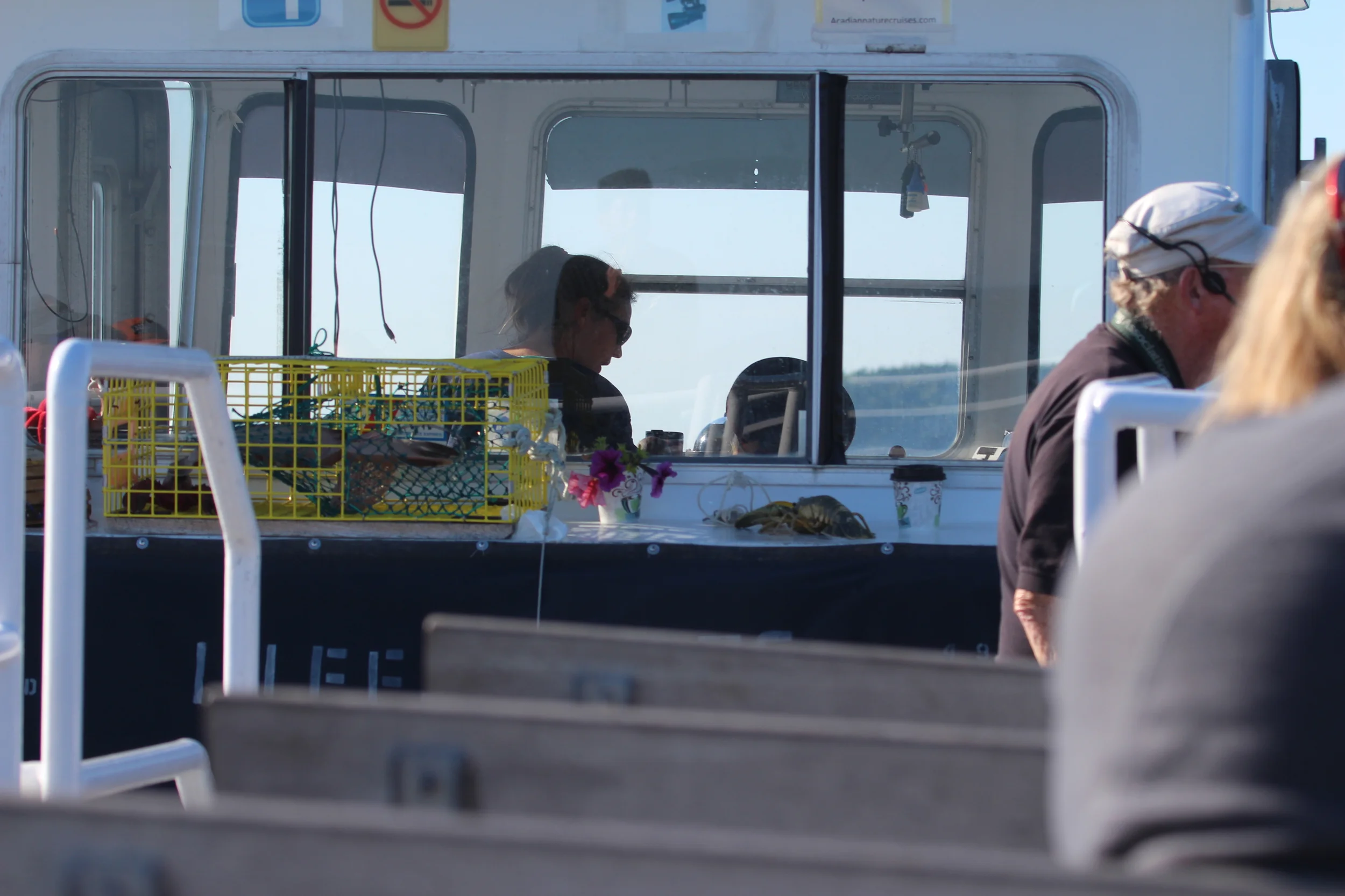
We were blessed enough to still have Petunia's grandparents with us and they treated us to a wonderful cruise out of the harbor that afternoon. We saw animals, natural beauty, summer "cottages" of the uber wealthy, a lighthouse and all type of marine vessel!
The biggest treat was to come toward the end, however.
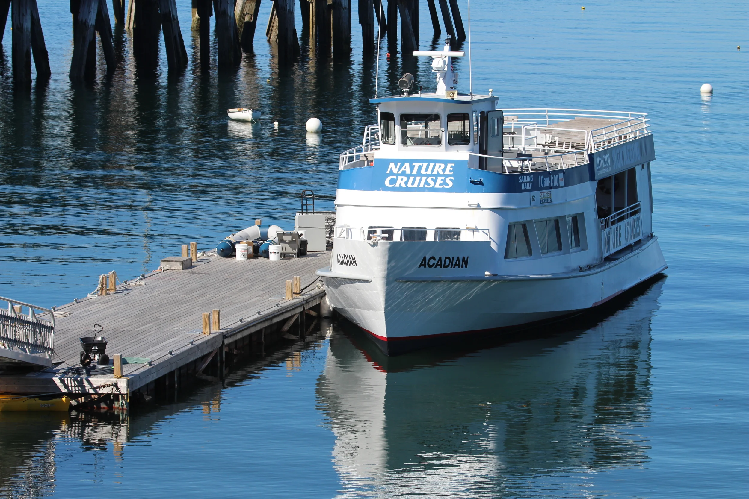
We set sail for our tour. We were threatened if anyone dared hum the tune to Gilligan's Island. ha!
Well, isn't that something?
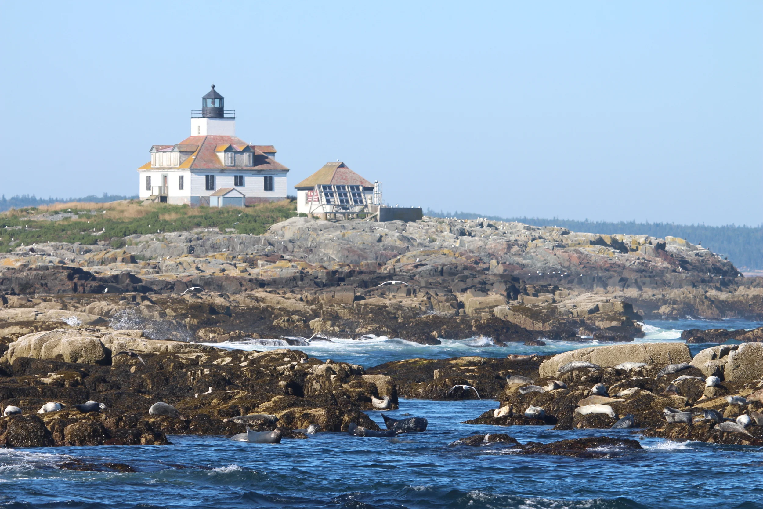
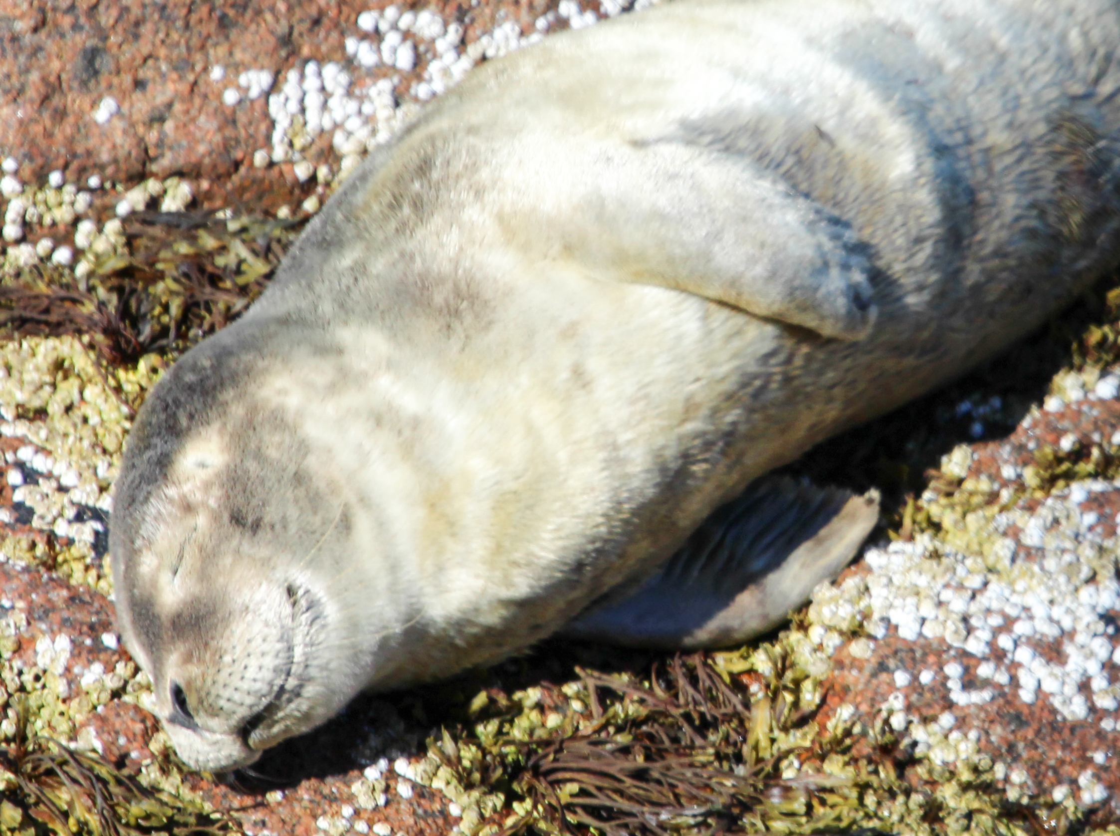
Egg Rock Lighthouse, with all sorts of sea birds and seals on the rocks around it.
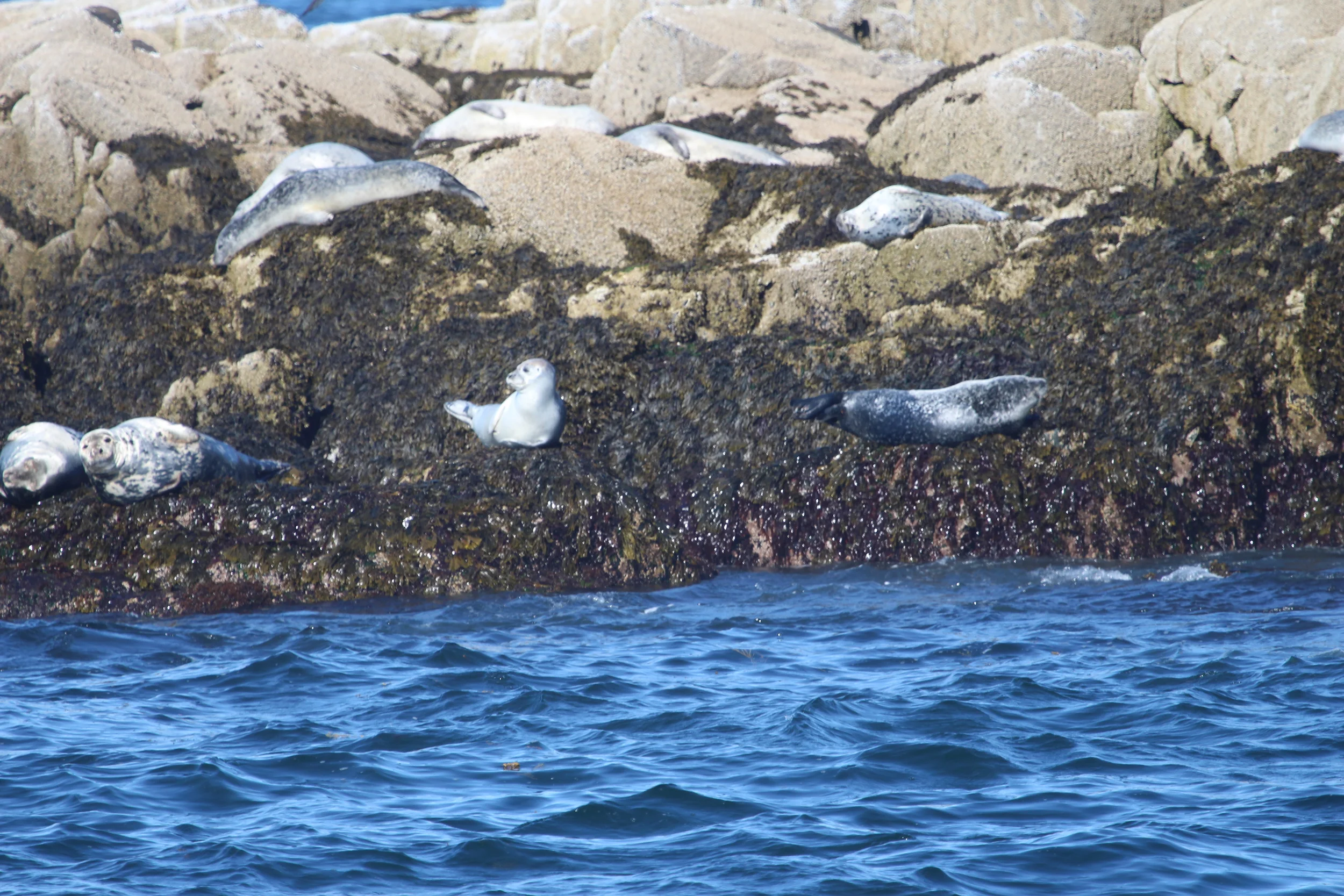
Look at the little guy in the bottom left corner. Is he posing for the camera?
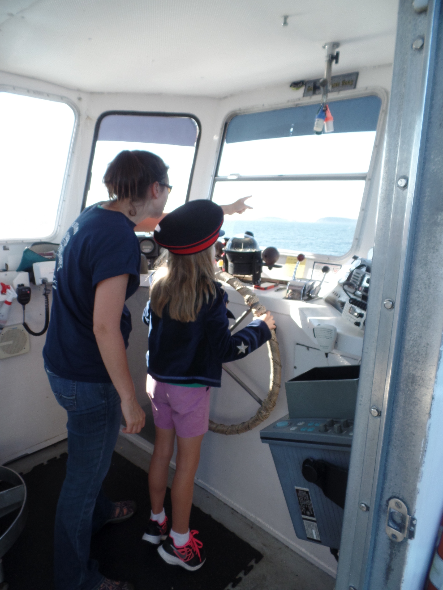
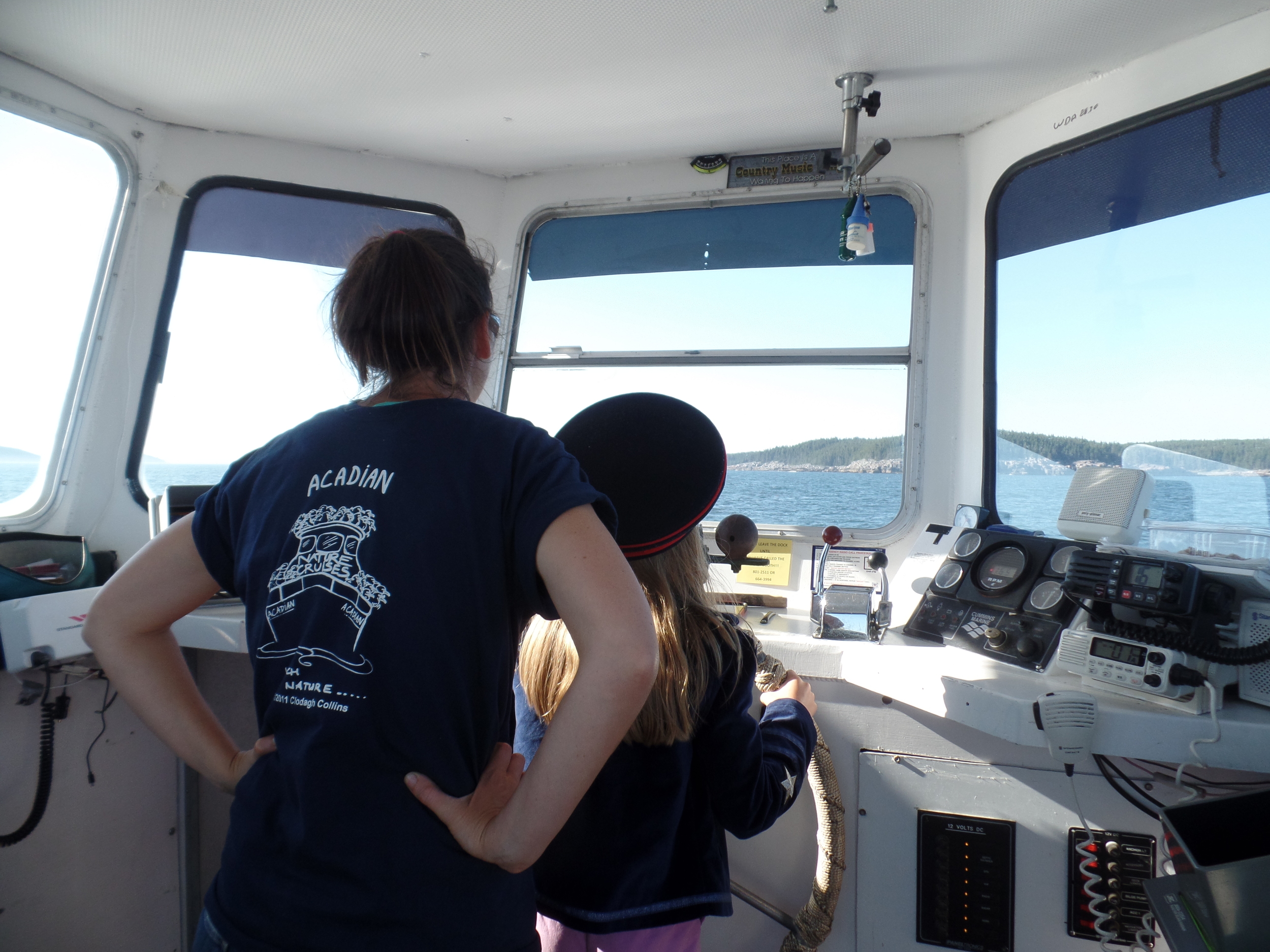
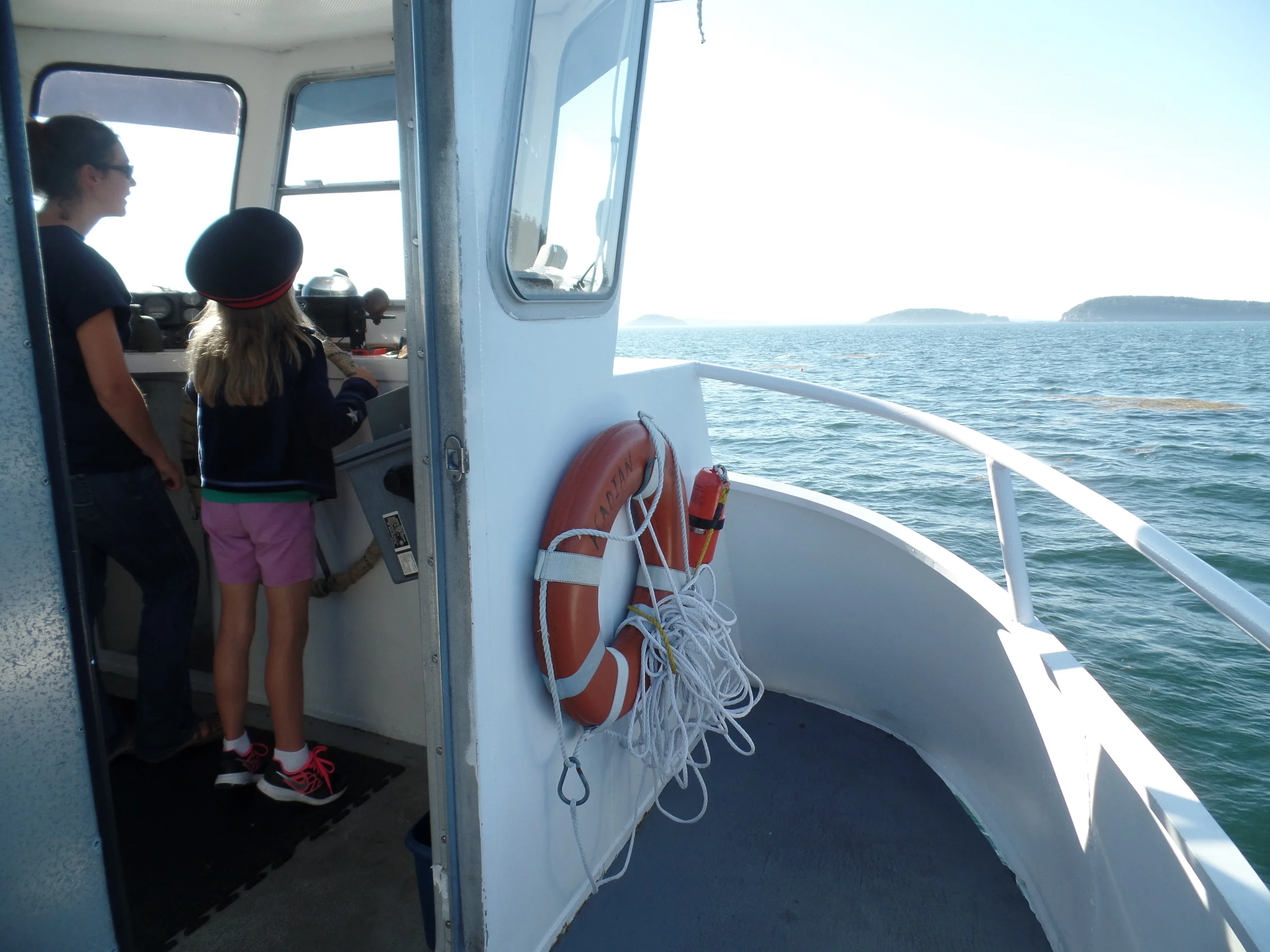
By this time, Petunia had been going around town for a couple days in her officers navy hat that was a gift from her grandfather. We were told that the female captain of the ship might welcome a little help, and sure enough...Petunia got to pilot the ship through Frenchman Bay. She was honest-to-goodness steering the ship under the direction of the captain, following commands and in control of the wheel under the captain's watchful eye. What an opportunity!
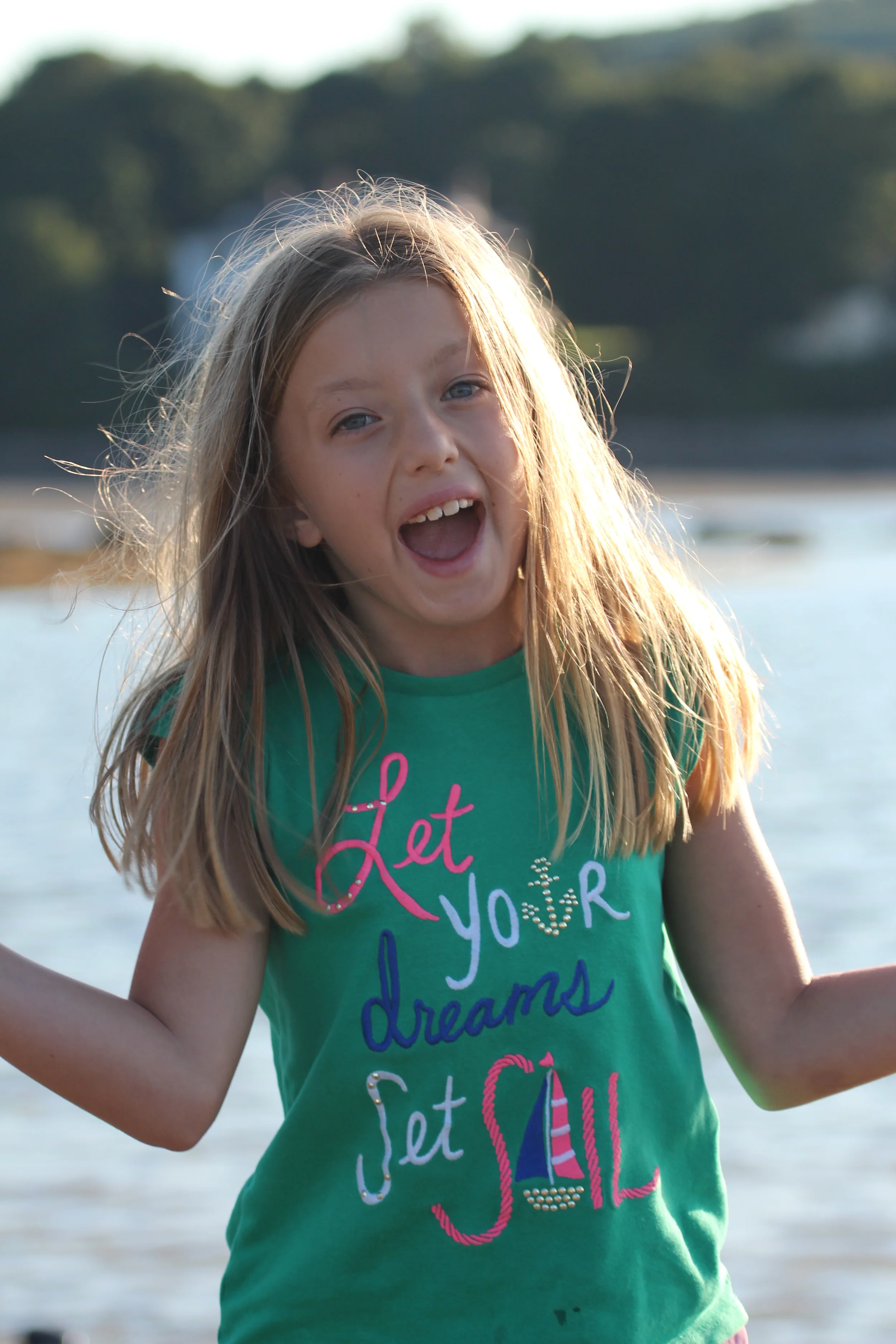
Love our little sailor girl!
What a brave mariner!
Listening to some tricks of the trade!
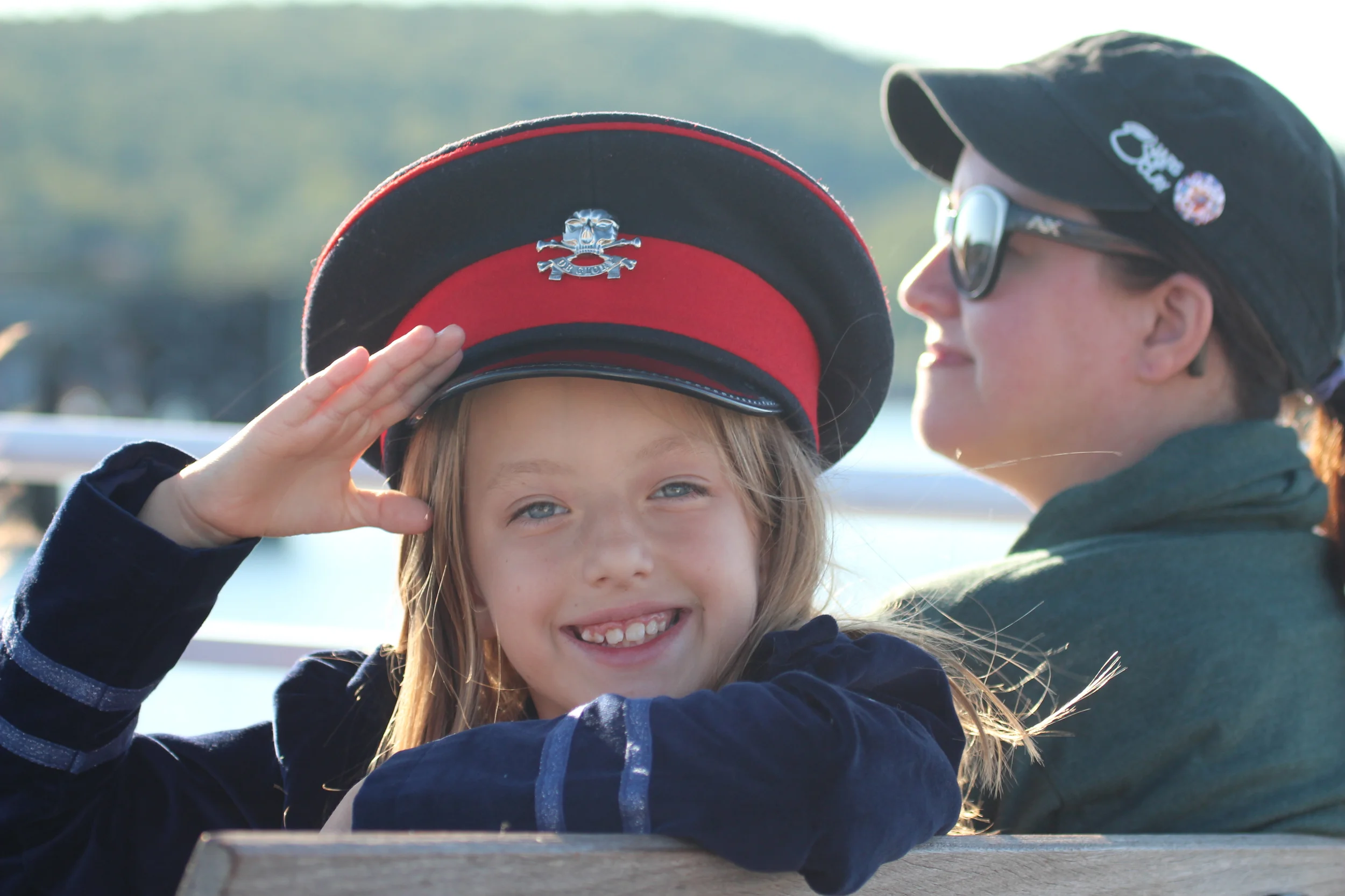
Well done, officer!
When we got back to land, it was close enough to low tide that we could walk out on the bar again. This time, though, Petunia spent some time trying to skip rocks and needed a little help.
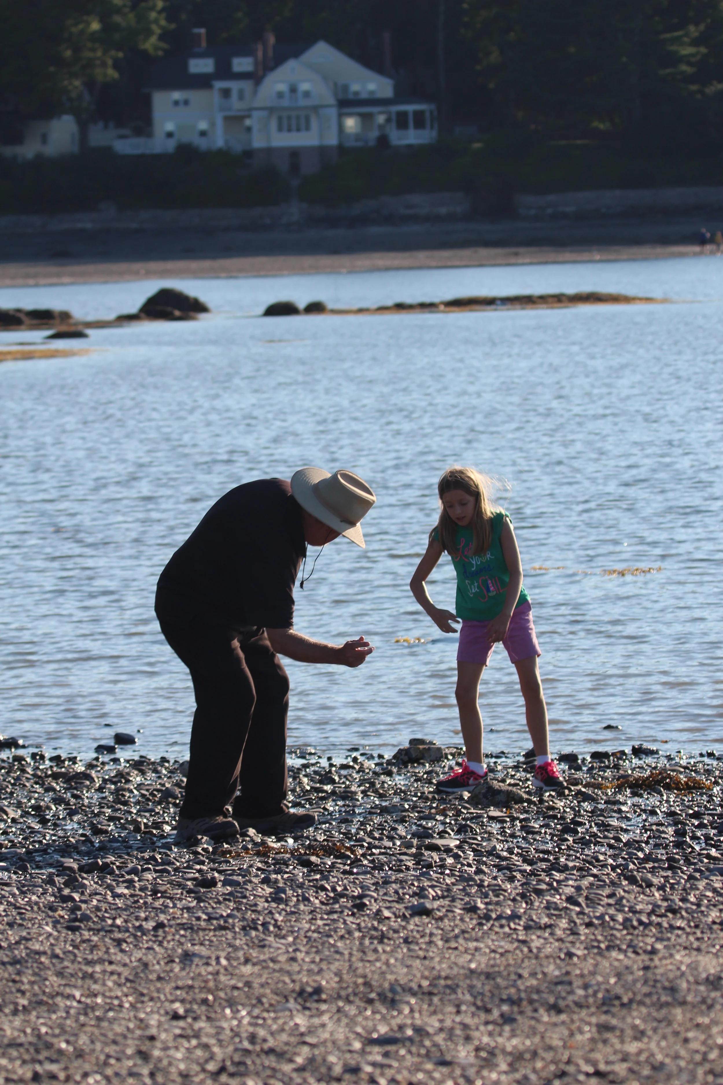
So she got her next lesson of the day...this time a lesson on rock skipping from Gramps Fuzz!
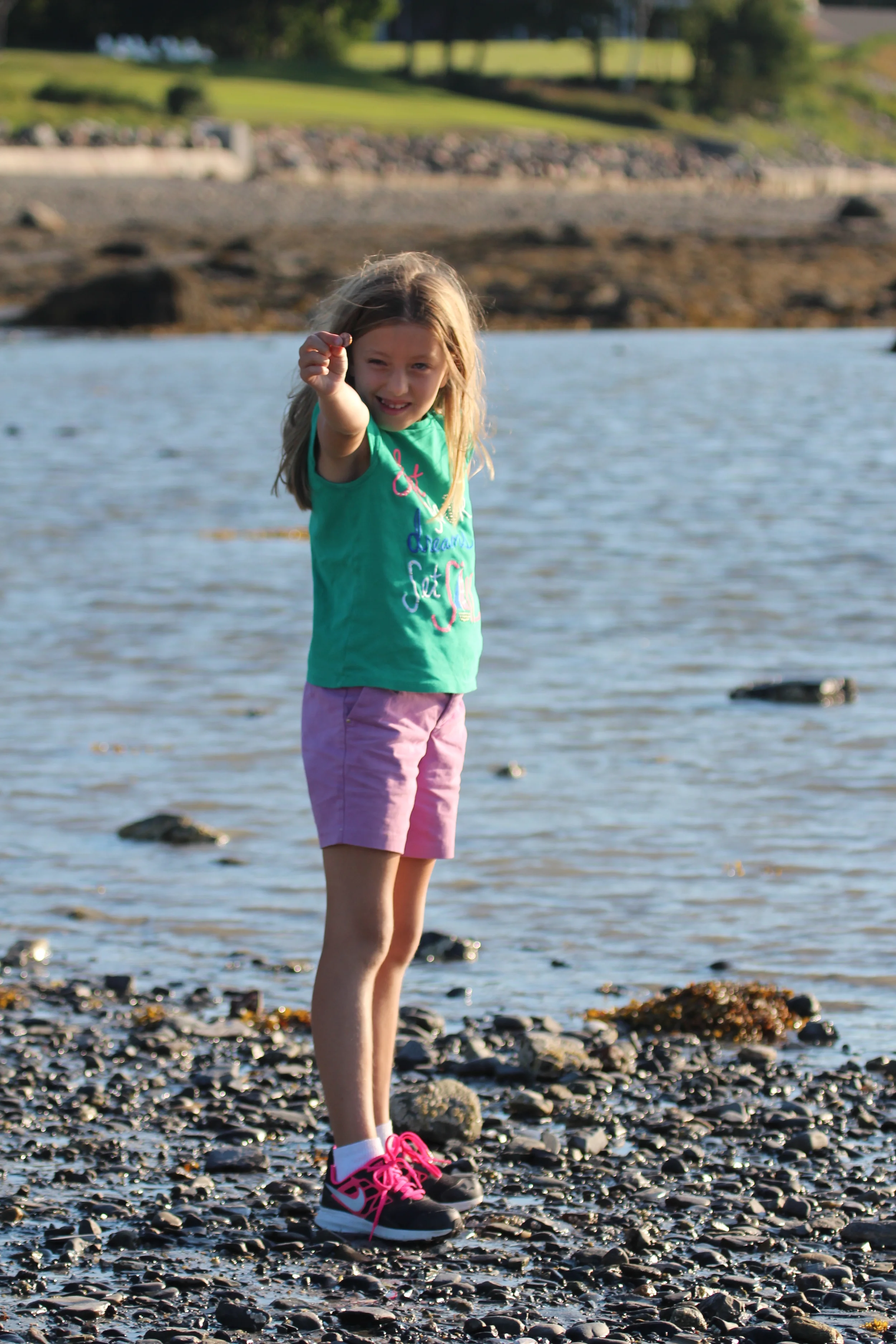
Showing off the great skipping rock she found to put her new found knowledge to the test.
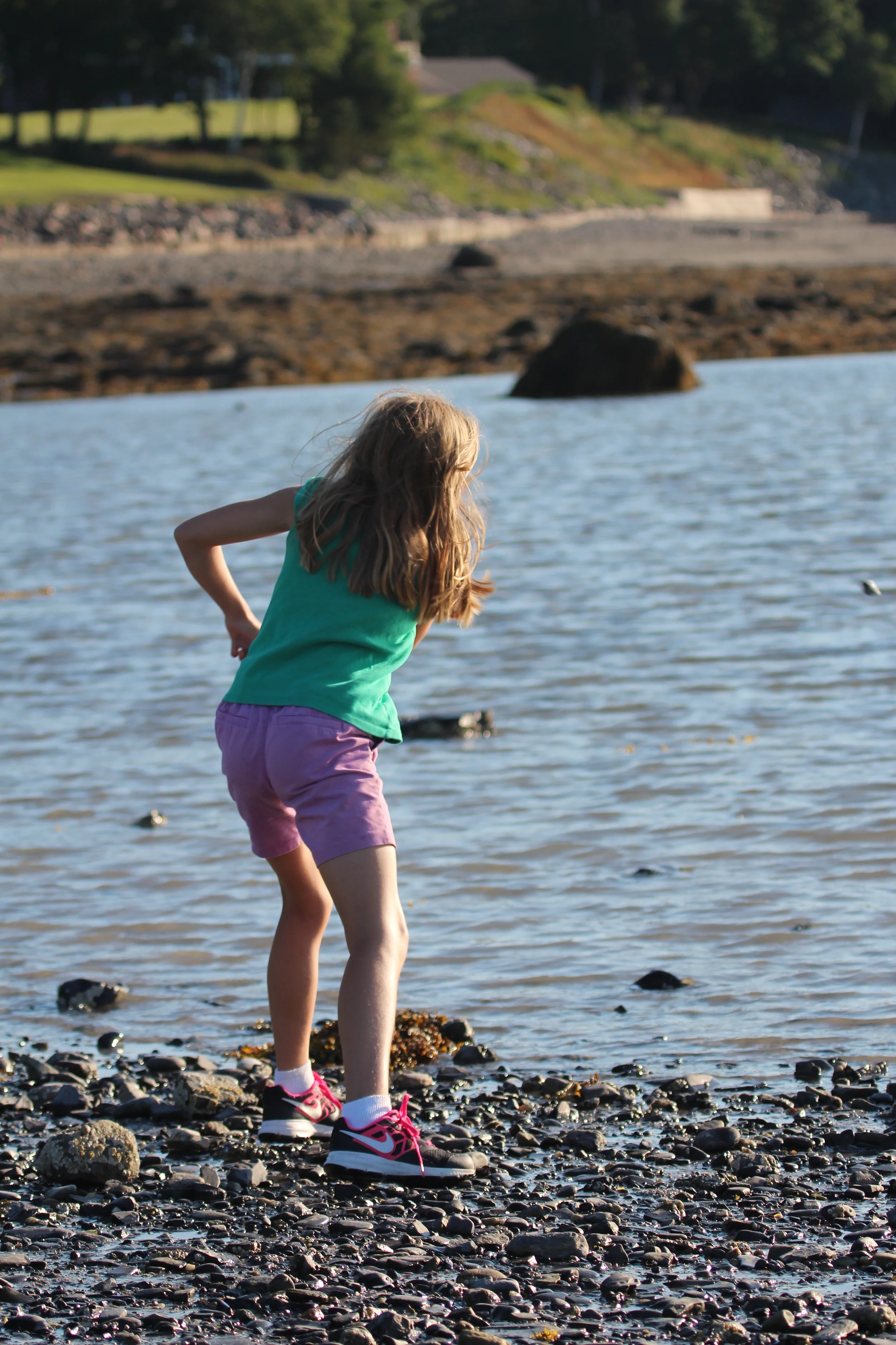
There it goes!
Happy with her results!
We decided to end the full and wonderful day with a ride to the top of Cadillac Mountain for the sunset view.
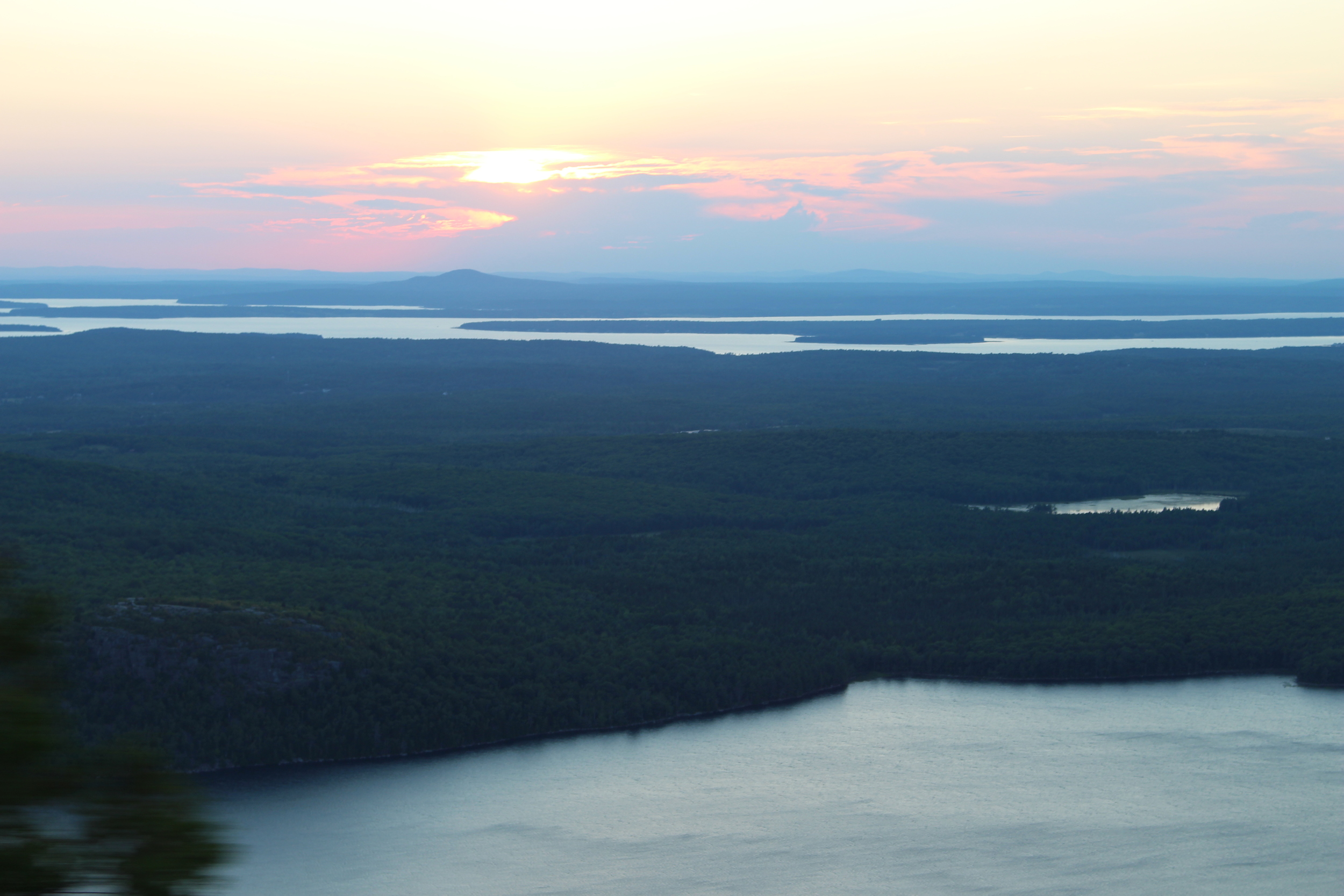
What a way to end a fabulous day!