Most of Acadia National Park is located on Mt. Desert Island. There is so much to do in the park and on the island, including in the main town, Bar Harbor, that even if you're there a week, you can barely scratch the surface on all there is to do. We know this because we were there for a week that seemed so fun and full of activity, and yet we left with both happy memories and a list of "what we want to do next time."
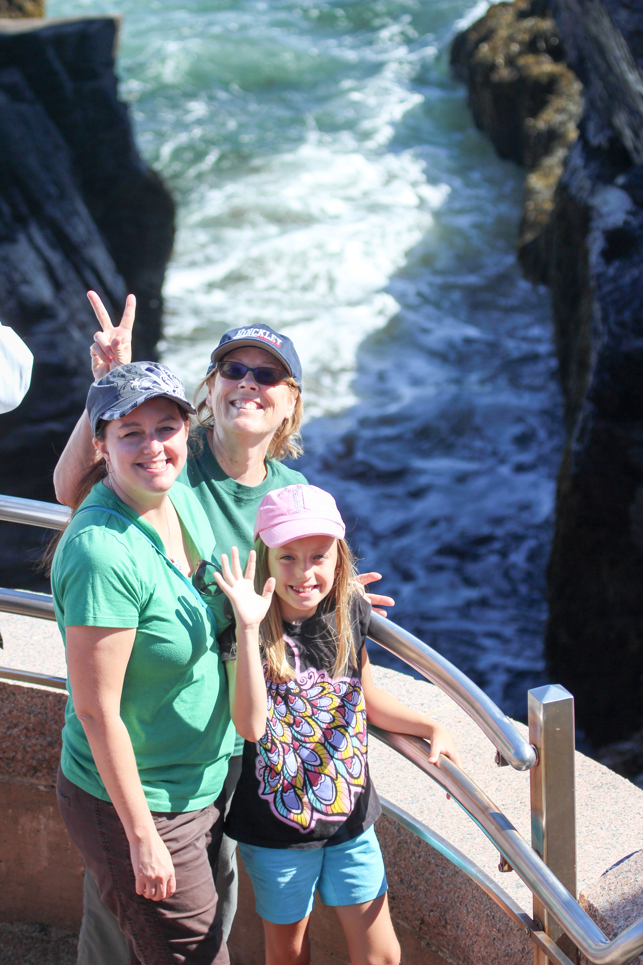
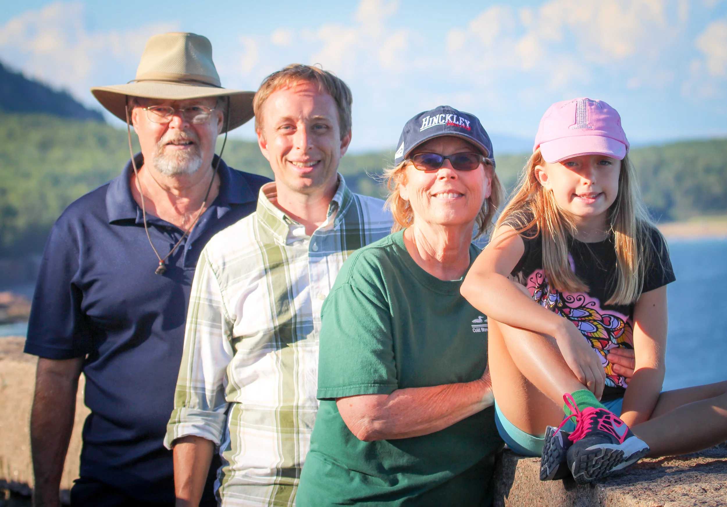
Our first day there we walked out on the bar near low tide. On our second day there, we were joined by Petunia's grandparents, who left their idyllic camp to come spend a few days with us near Bar Harbor. The main activity of the day was walking the breathtaking-at-every-turn Ocean Path.
The Ocean Path is an easy walk along a 2 mile stretch of shoreline that delivers above and beyond what it asks of the hiker. In fact, you can opt to stay on a flat or very gradually sloping path the whole time, if you choose; although there are many options for short detours that provide for a little more exertion and even more stunning sightseeing angles.
Scenes of this path are so varied, too! You start at a sand beach, go by Thunder Hole, of course see sweeping views of the water with all kinds of boats, take a short walk through a forest, and end up on a cliff! How is that for a little variety?
What a magical hike we got to enjoy in perfect weather!
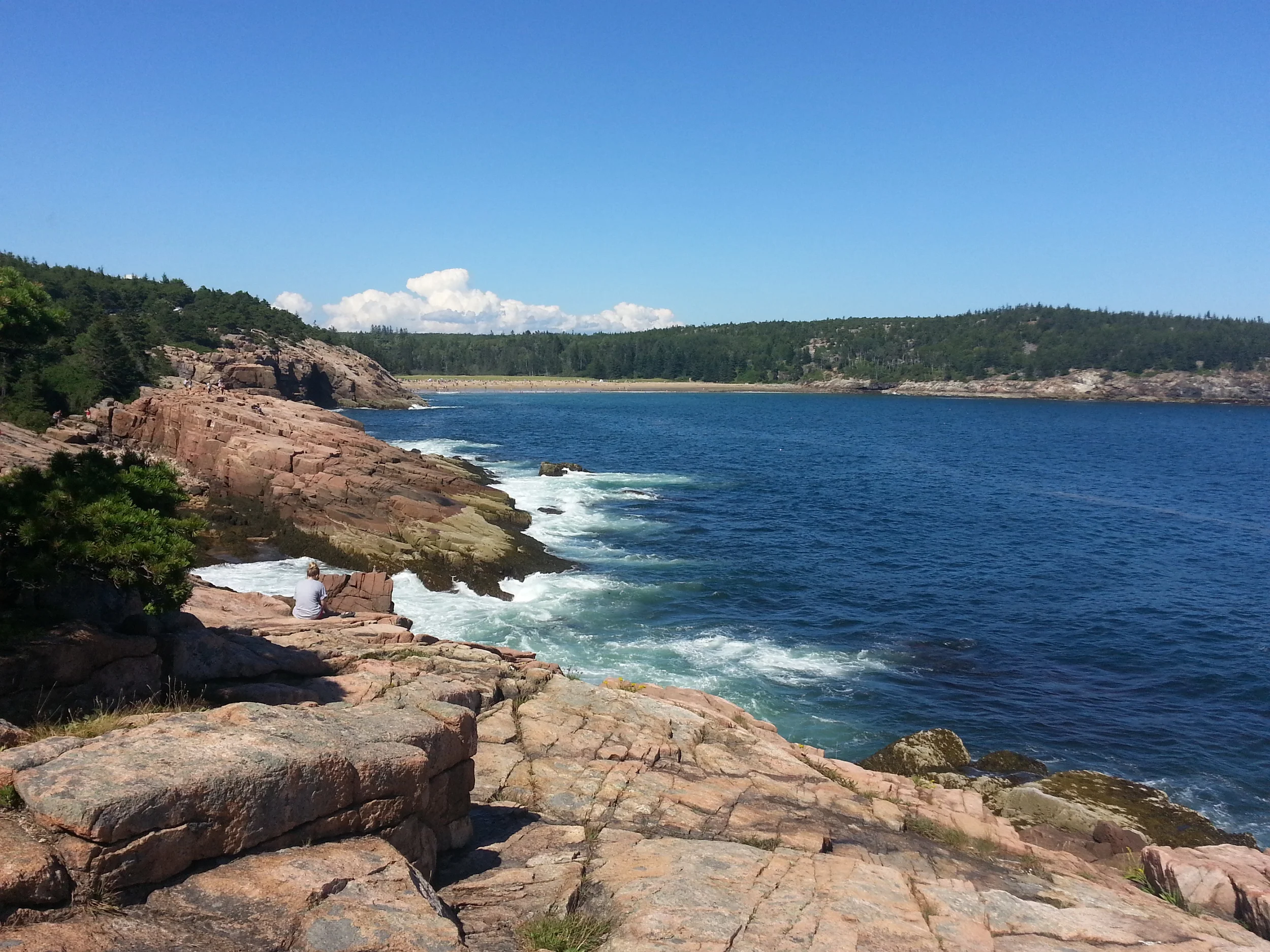
The Ocean Path starts above the sand beach in the background. We had walked a while, obviously, to be able to turn around and get this shot.
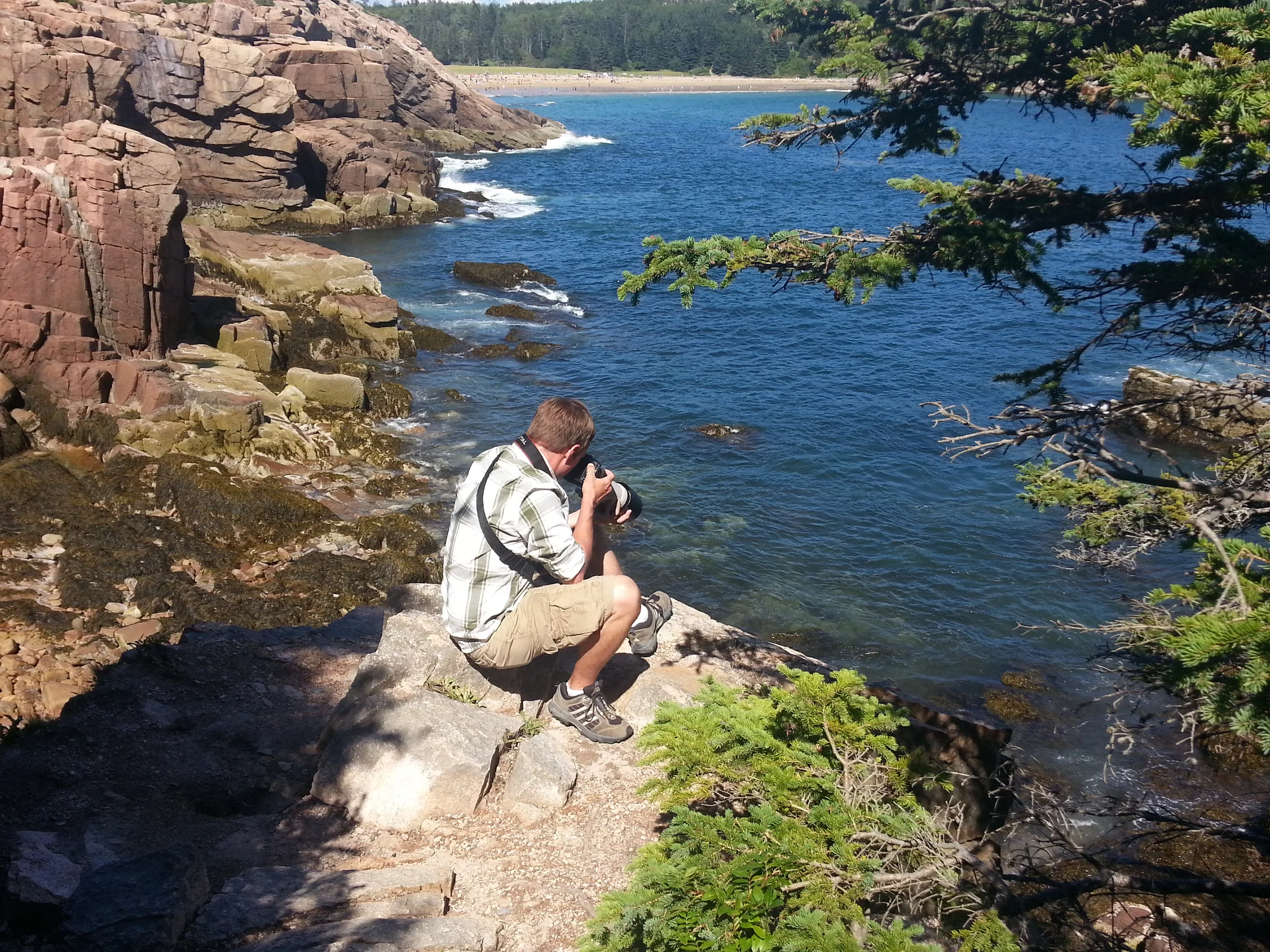
What does Mark see through his lens?
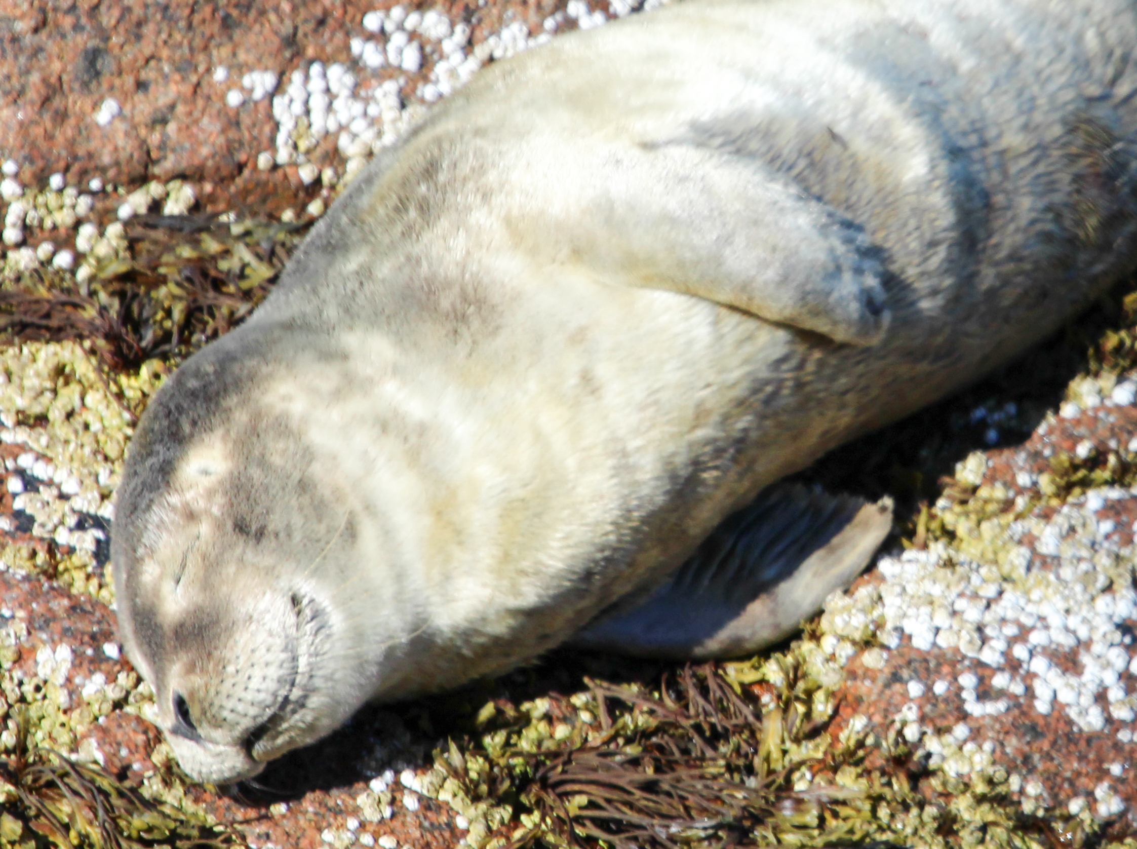
This cute fella taking a nap in the sun on the rocks below!
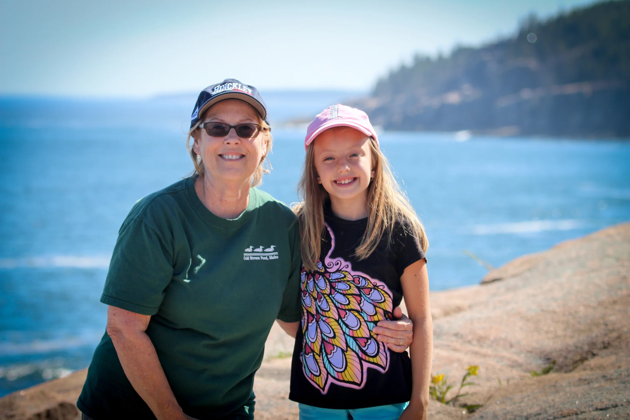
Petunia and her Nana love sharing adventures together!
Some "bunny" was here with her crew watching Thunder Hole in awe! We got some good waves that day. Thunder Hole is active because of a small cave below sea level. When the waves come in and the air pushes them out *technical talk* anyway...sometimes there is a big, loud sound like thunder. It's fun! We even got sprayed a couple times.
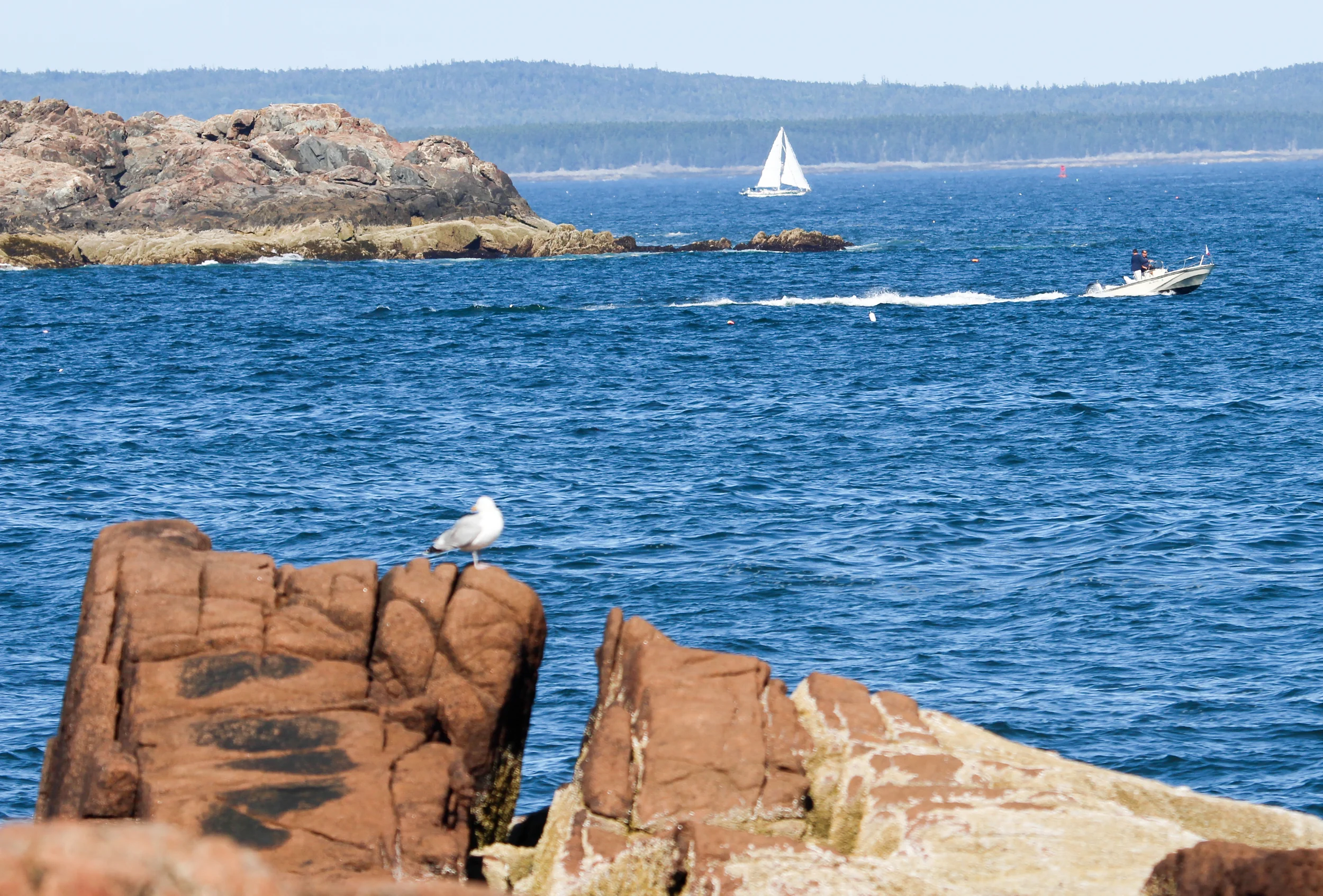
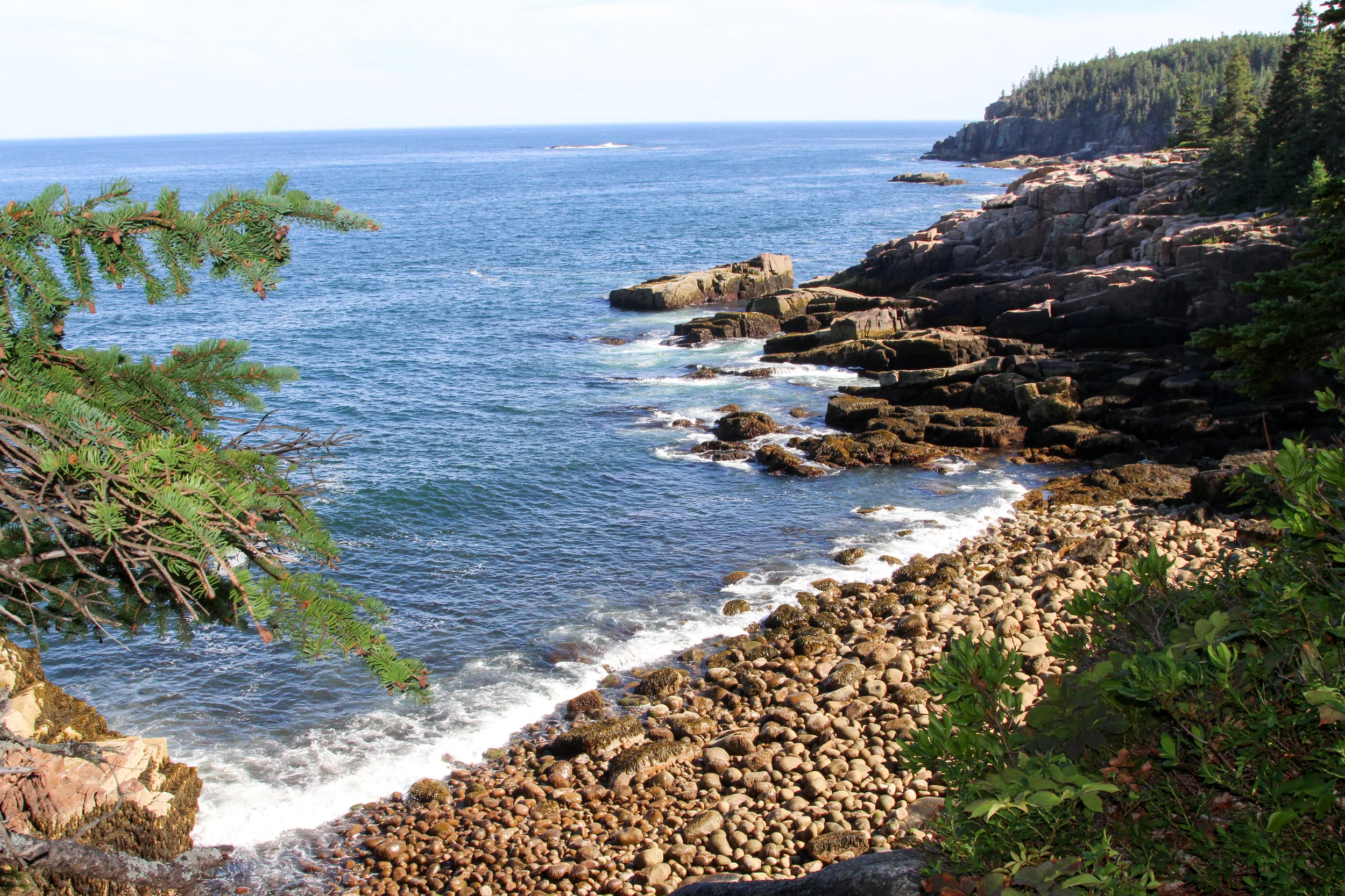
These are the views from the path out to the deep blue sea.
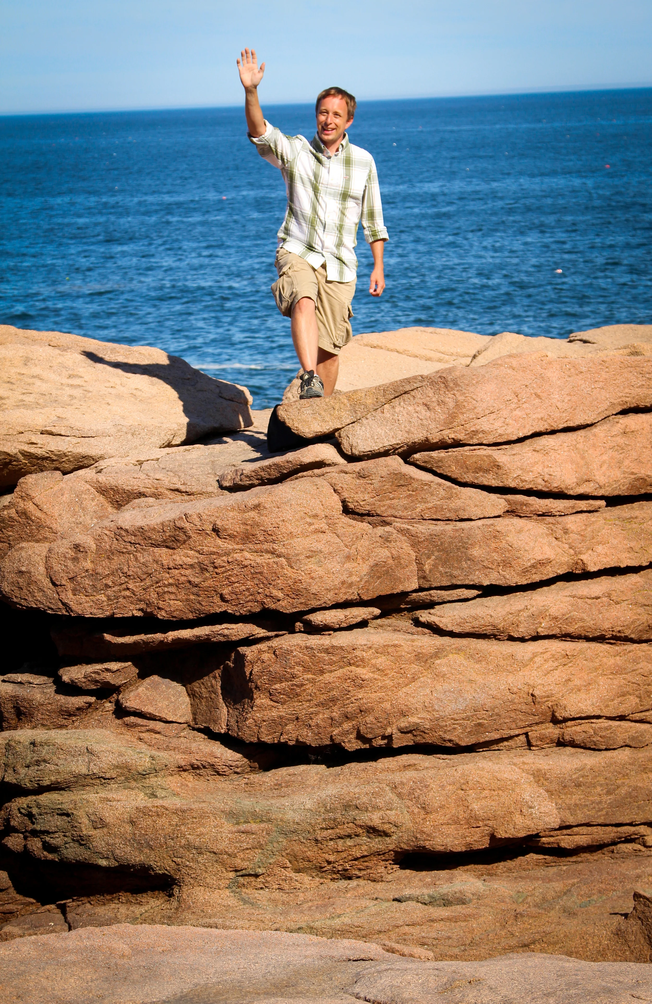
Mark turned his camera over to Petunia and climbed a few rocks.
As you can see here, most of the path is flat and easy.
Until you decide to go down to Boulder Beach, anyway.
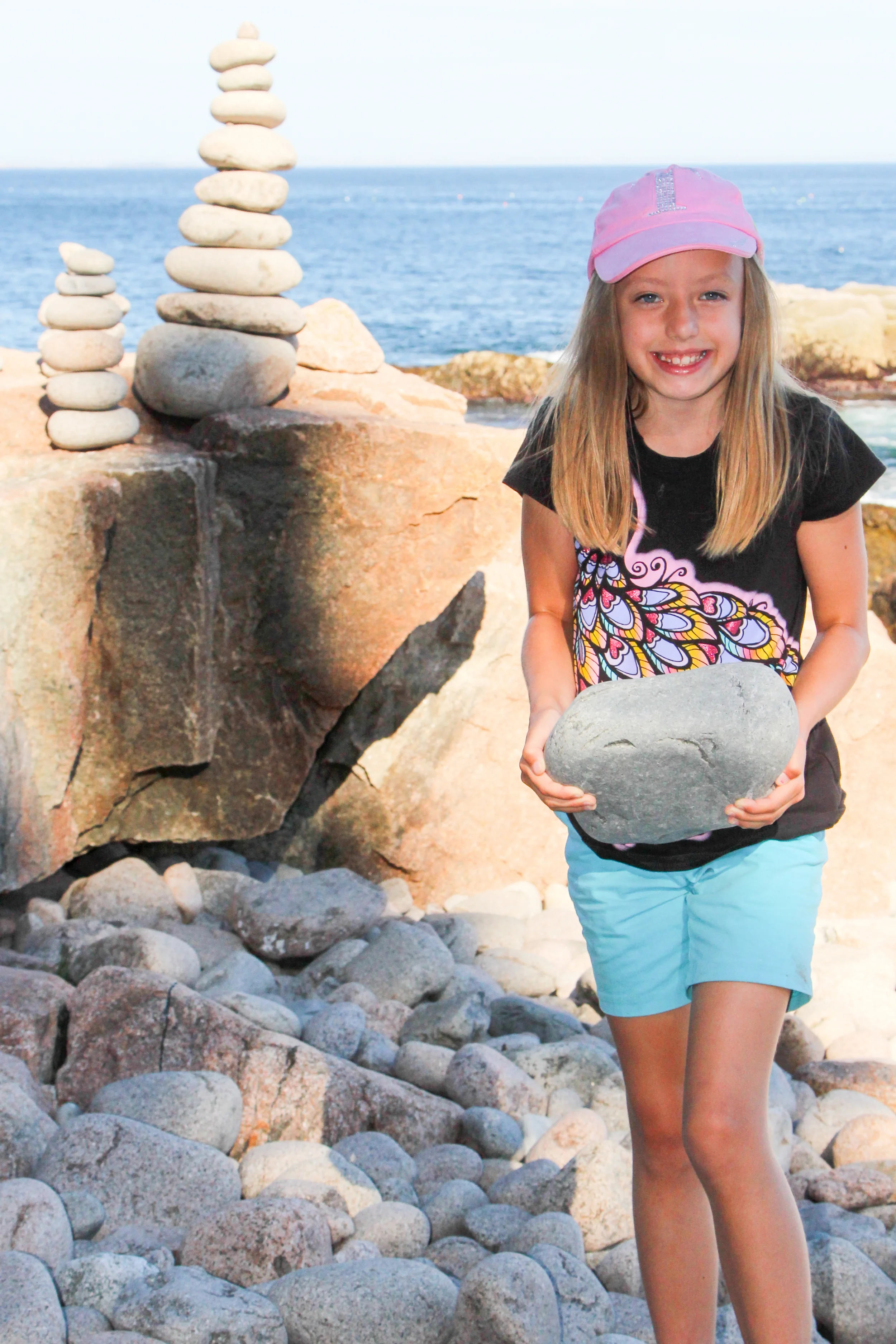
Cairns are used as trail markers along several of the hikes in the park and so they have popped up even along the beach and other places in the park. There were several standing on Boulder Beach when we down to it, and Petunia built a small one herself.
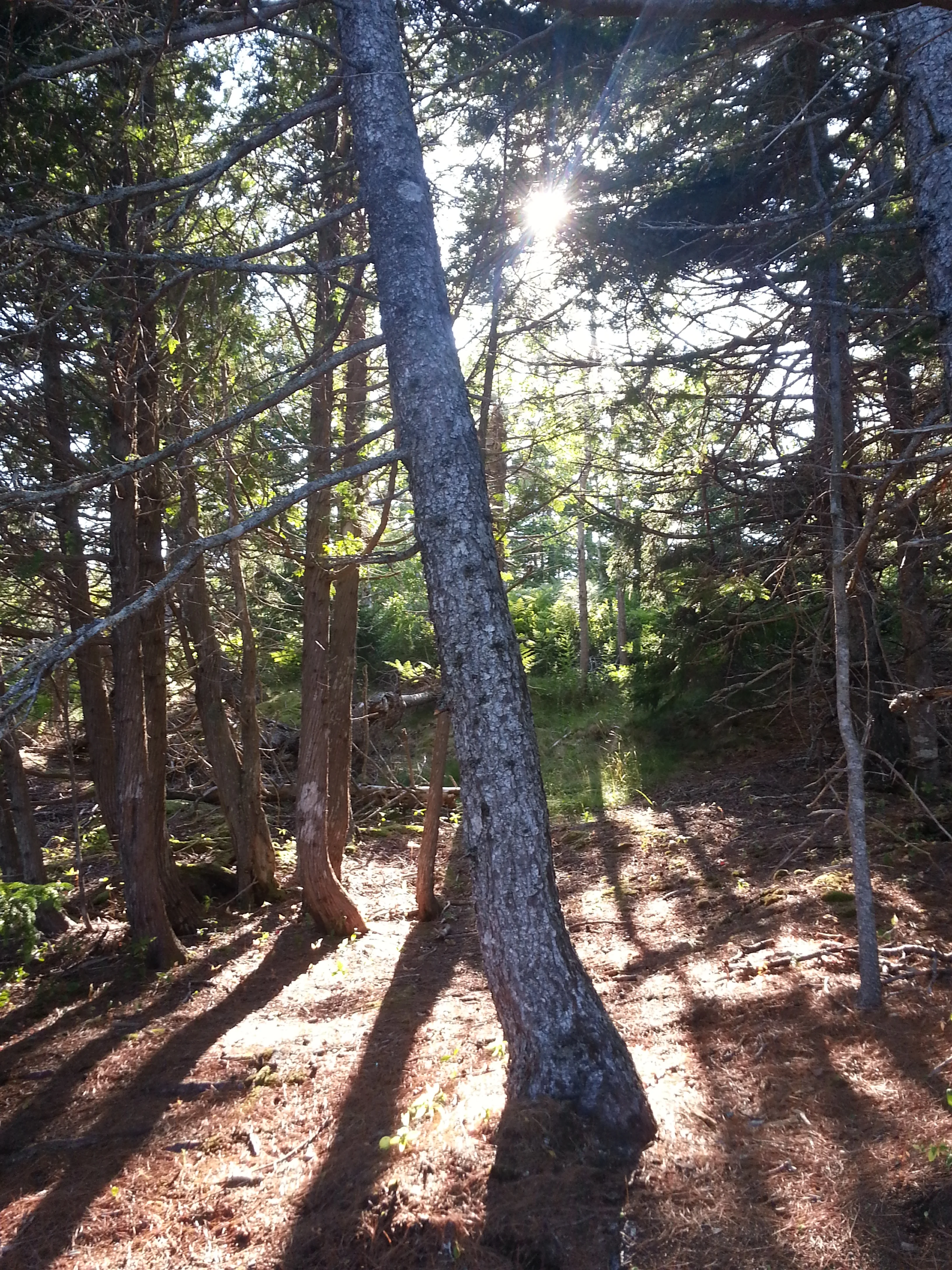
And then you walk through the forest! What magical light!
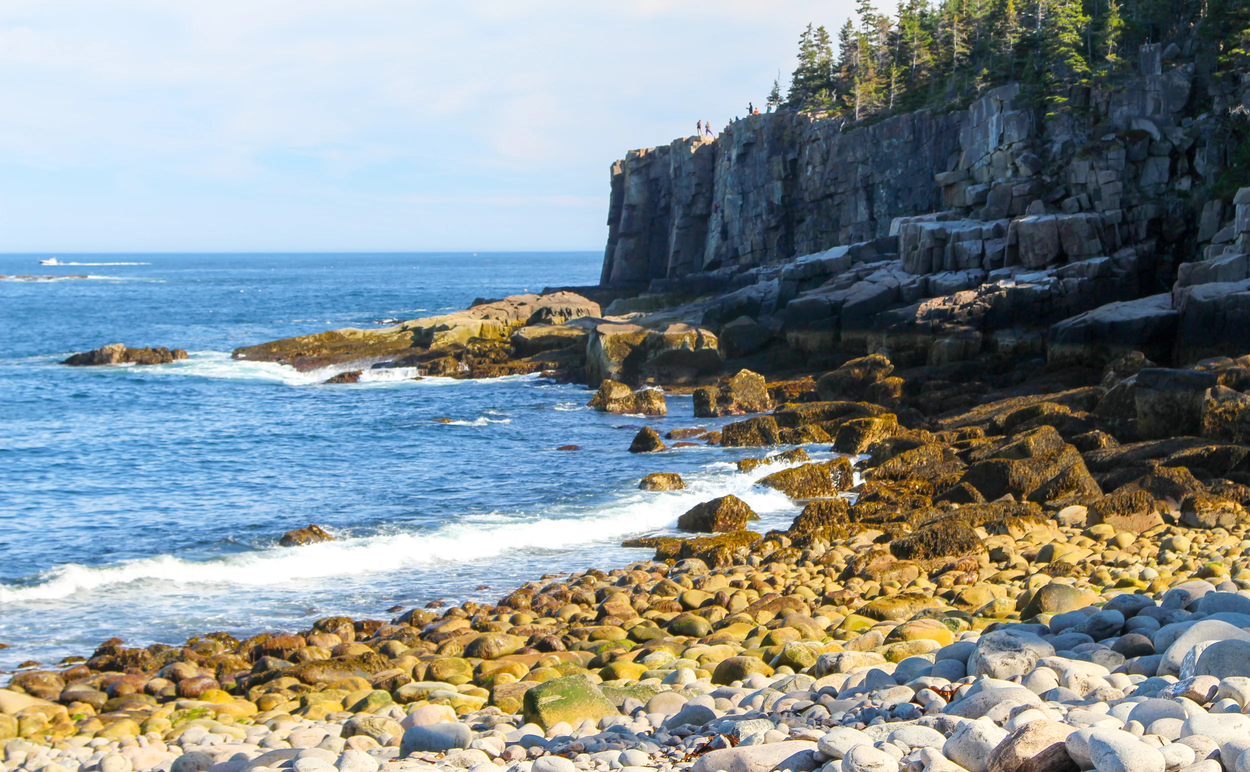
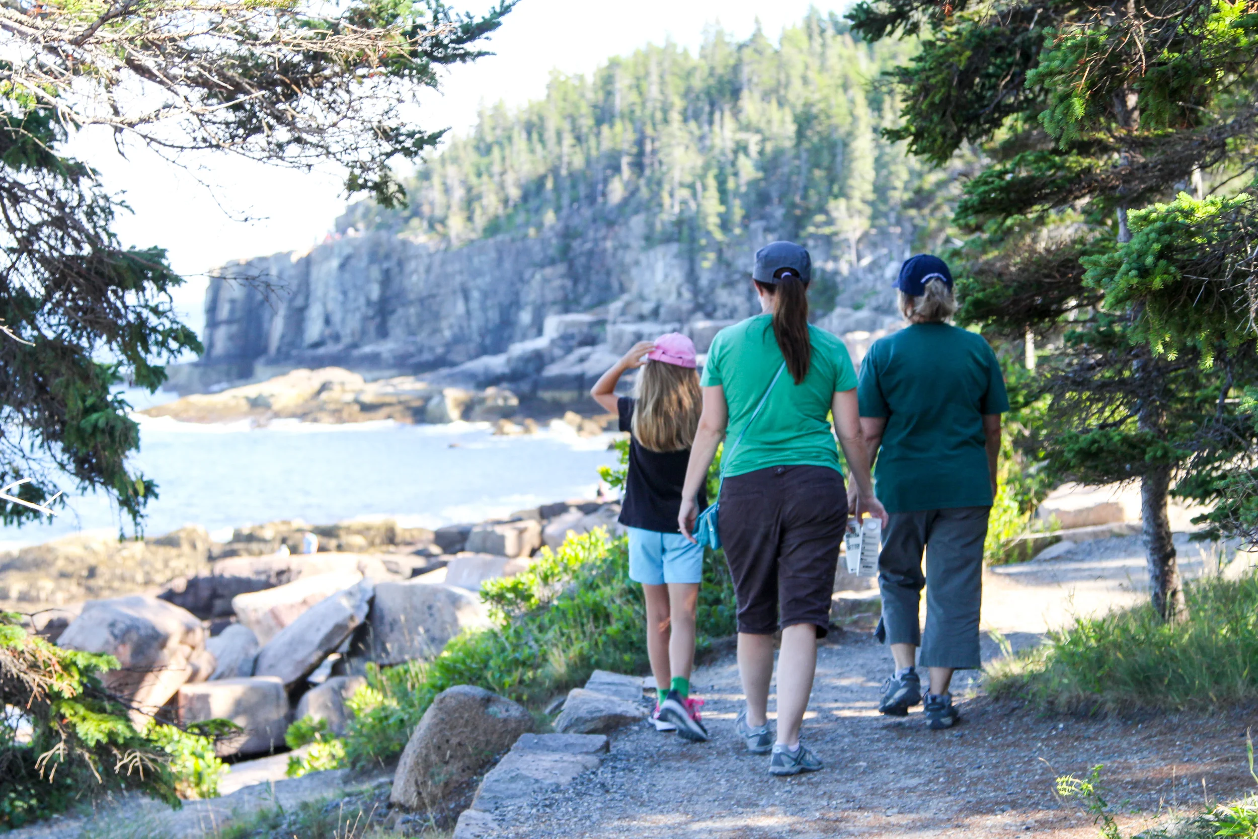
And our final destination was the tip of those cliffs! We went right out and I sat close enough to see over so I could look for rock climbers who sometimes scale the cliff.
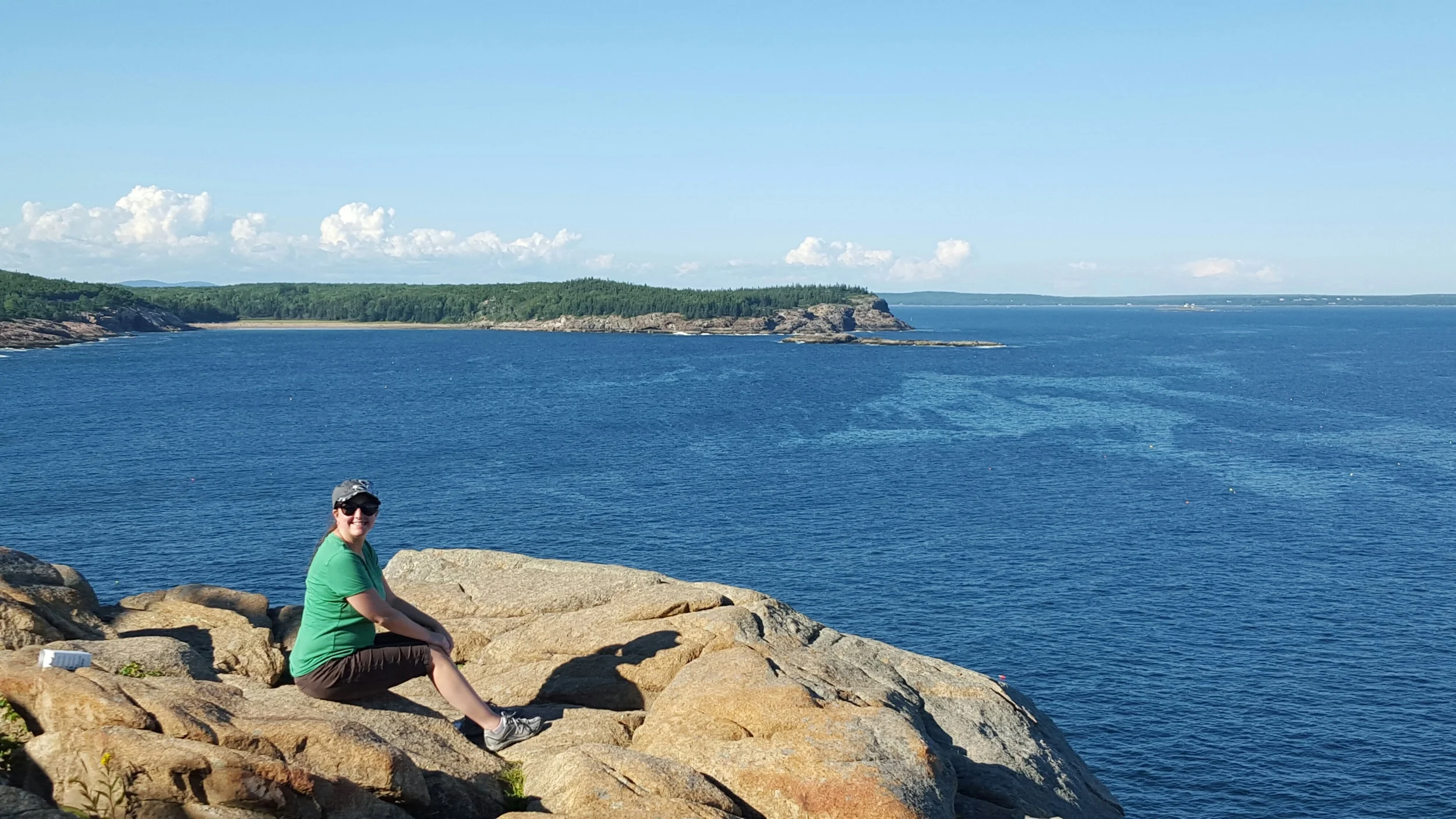
Here is the rewarding view from atop Otter Cliff!
With all that beauty, these are my favorite...

...views of the day!
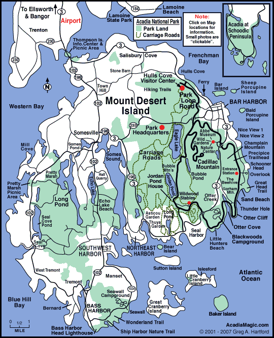
To get a perspective of how big the island is, take a look at this map. If you're looking at the map as a clock, then just a little "past 3:00" you will see Sand Beach and can follow it to Otter Cliff. All that scenery and adventure took place in that small percentage of the island.
We had a wonderful walk and worked up an appetite for our delicious seafood dinner in Seal Harbor, where Martha Stewart has her summer home. We ate at the Lighthouse and our butter was served in real half shells. Now that's my kind of whimsy!